|
|
|
|
Satellite Images, Meteorology, Weather, Space, Planets, Moons, Arctic Earth: Satellite derived images
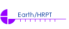
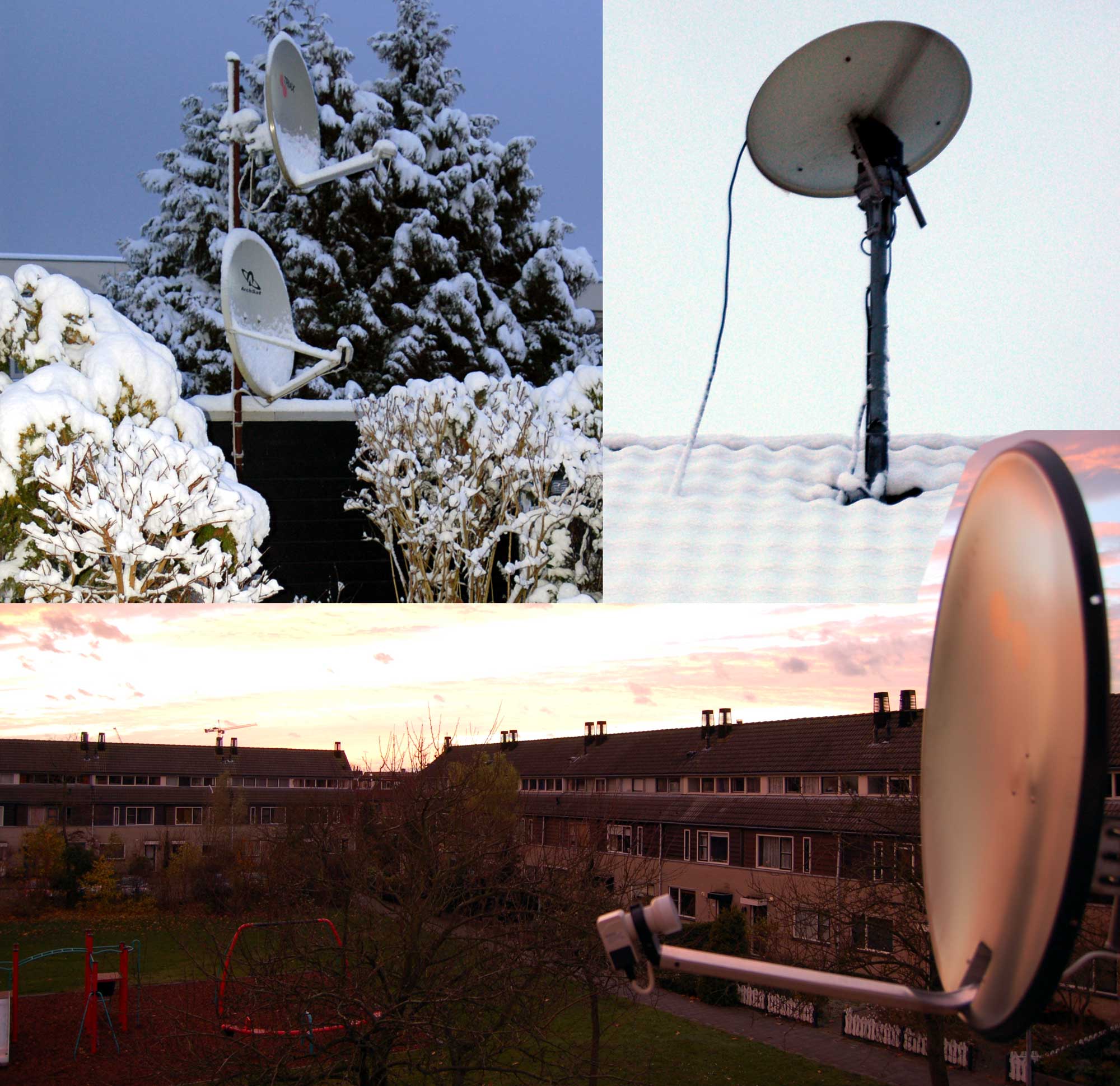
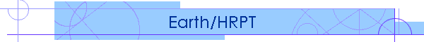
The dish collection associated with the reception of all sorts of satellites This section aims at sharing some of the wonderful views one can obtain of earth from a number of polar orbiting and geostationary satellites. Various systems are in place: - Direct reception of AVHRR (HRPT): Data is being received with an 85 cm prime focus dish, equipped with a 60 dB LNA/C (amplifier/converter) that converts the 1700 MHz signal to a better transportable 140-150 MHz frequency. The dish is mounted on a 360 degree azimuth and 180 degrees elevation dual rotator setup that is controlled by a Kenpro KR5400B. The converted signal is fed into an SSB/Orbit receiver card and associated data card that produce the raw picture file info with 10 bits depth. The image files are then fed into an excellent program by David Taylor, called ReadHRPT. This program allows saving pictures in various formats and with or without correction for geographic distortion. - Direct reception of APT signals in the 137 MHz band. This type of reception is currently being phased out to be replaced by digital only. - Reception via EUMETCast, the data distribution system of EUMETSAT. Data is distributed via Eurobird-9, Atlantic Bird 3 and NSS-806 - FTP access to the University of Dundee Satellite Receiving station ensures availability of data to complement errors in direct reception and insures alternative sourcing. - Membership to DWDSAT provides for numerical data that can be integrated in actual satellite imagery - Historical data as well as relative current data (aged several hours) is obtained from private archive and several sources such as Modis Rapid Response Center, National Hurricane Center, Dundee, SAA-CLASS. Collectively these systems provide actual data of the whole earth with intervals varying from 5 minutes (Rapid Scan) to once per day. Data from the following satellites is being used: NOAA 15, 16, 17 and 18, METOP-A, Feng Yun-1D, Goes-East and Goes-West, Meteosat 8/9, Meteosat 7, MTSAT-1R (Himawari-6), CMA (China Met). EUMETCAST also makes available derived products such as wind vectors, sea/surface temperatures and many more. Direct reception is limited to what can be seen by polar orbiting satellites during the time those satellites are within reach of my antennae. For my system location at 53.3 N and 5.26 E this means that the furthest point visible lies at the circle with radius of approximately 4500 km from the antenna. This is the case for a satellite orbiting at around 850 km altitude. The images presented in this web site may be used for private purposes only. In case of re-publication or further use on the web the source of the image must be indicated. Other means of distribution and/or commercial use are expressly forbidden without my written consent. Please contact me first at: fvalk @ fvalk dot com In case you would like to provide feedback to the subject of this page or you have a request for an image of a specific region within the reach of my location, mail me to: fvalk @ fvalk dot com. Image Galleries: There is a special page dedicated to Actual World Wide Meteo images. Click here to go to that page. A special gallery has been assigned to the activities of Mount Etna on Sicily, Italy: click here | ||||||||||