|
|
|
|
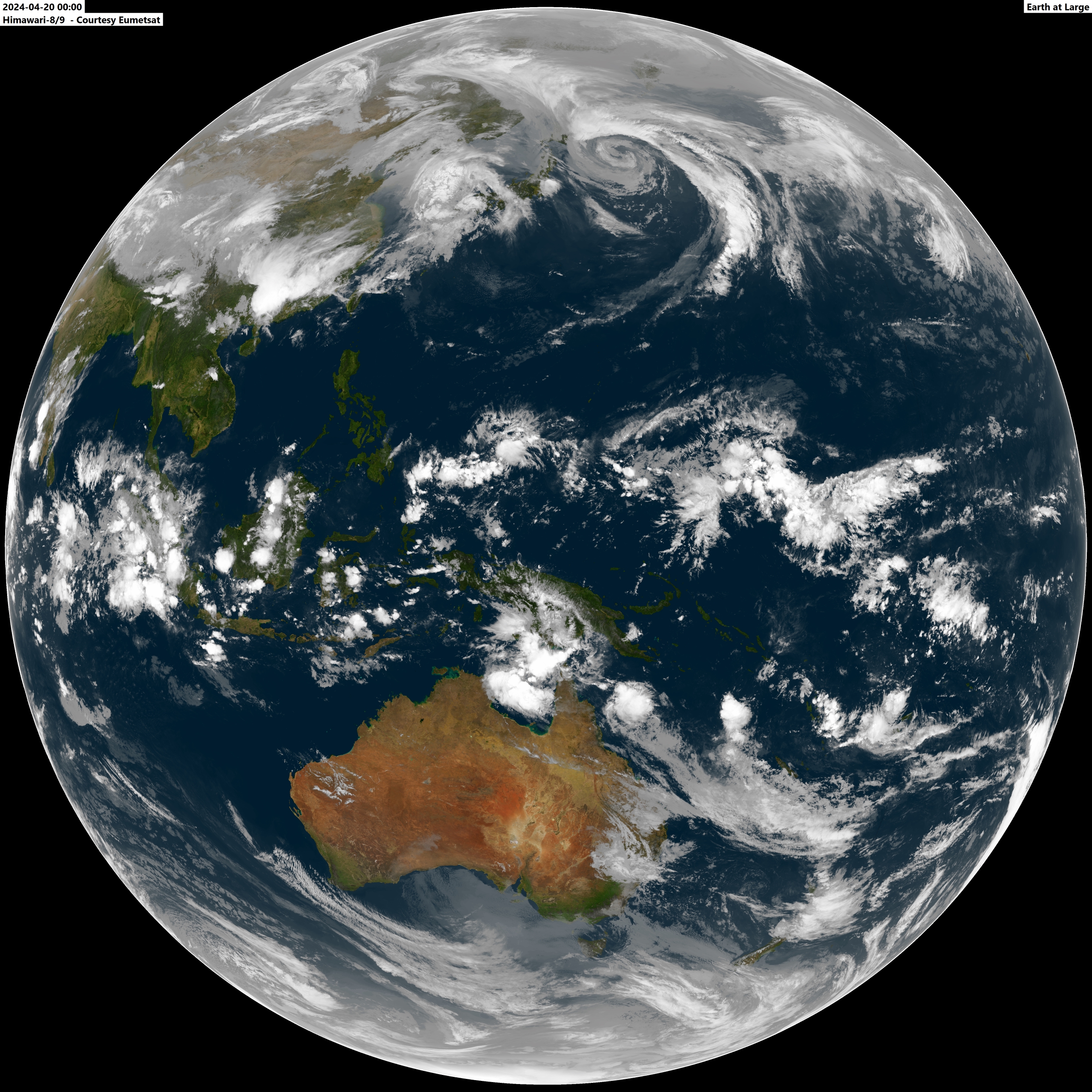
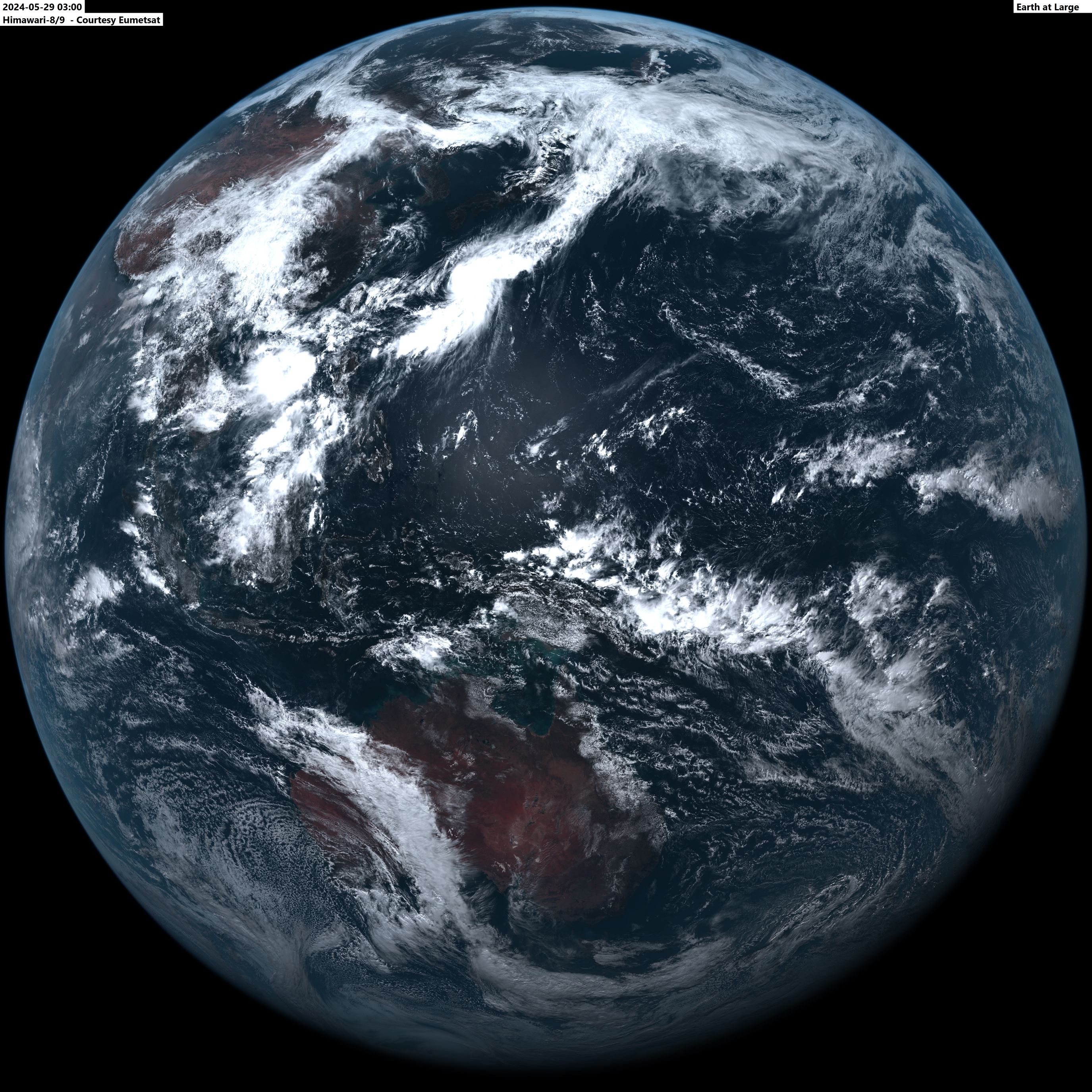
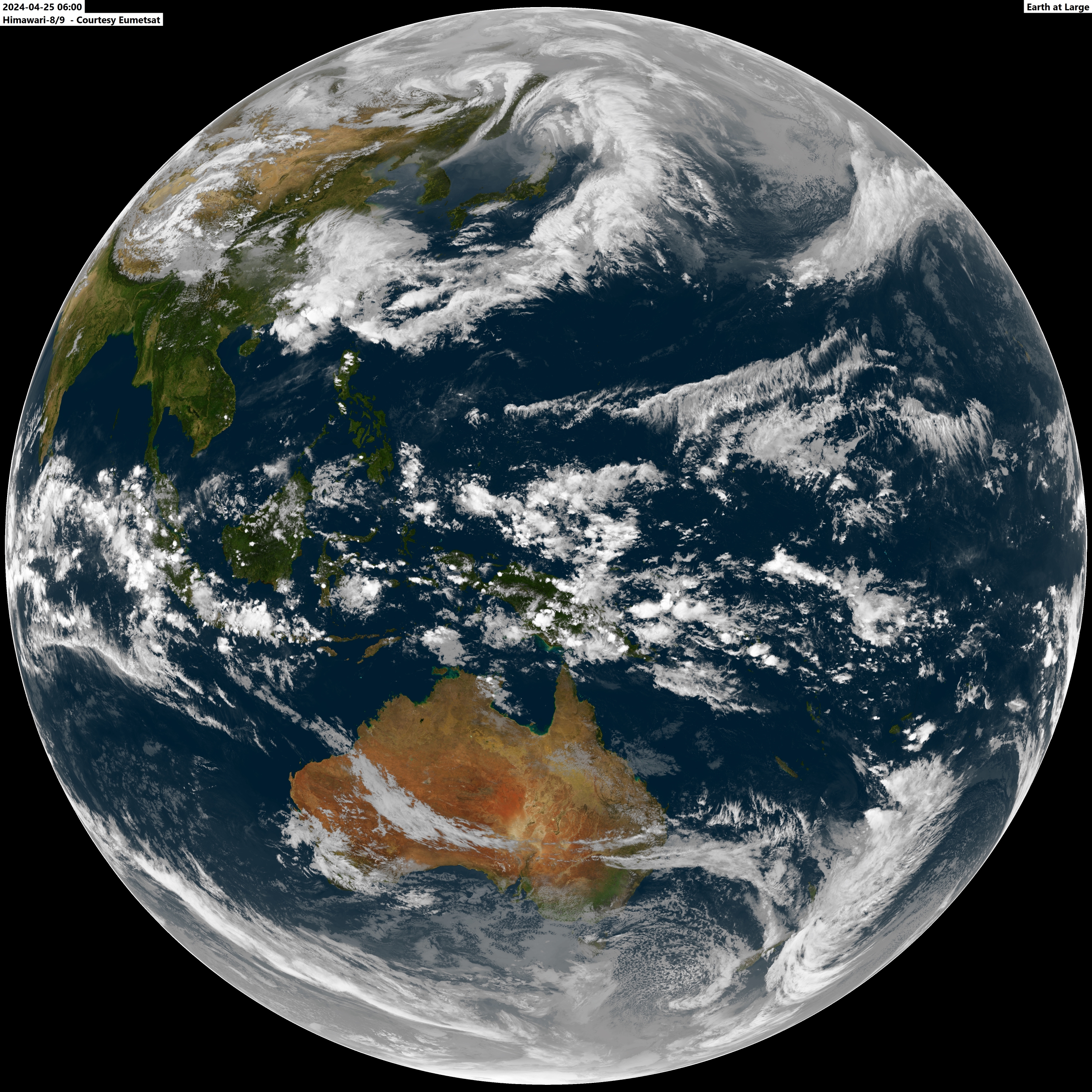
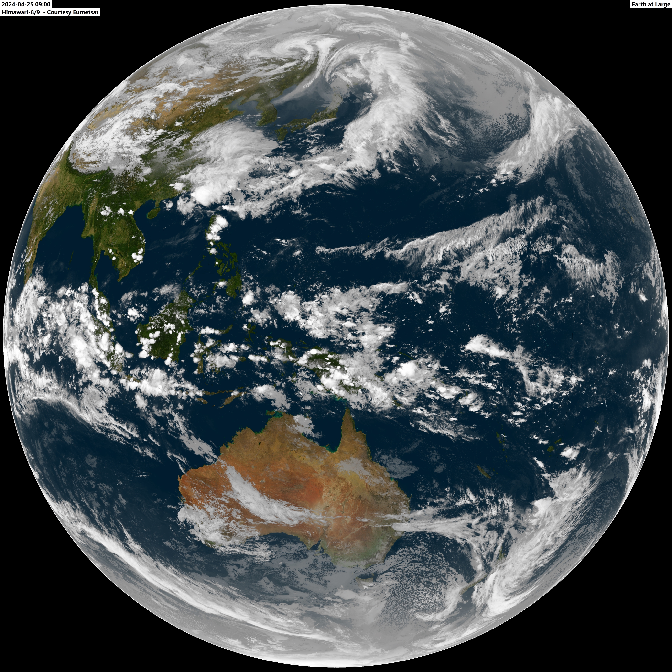
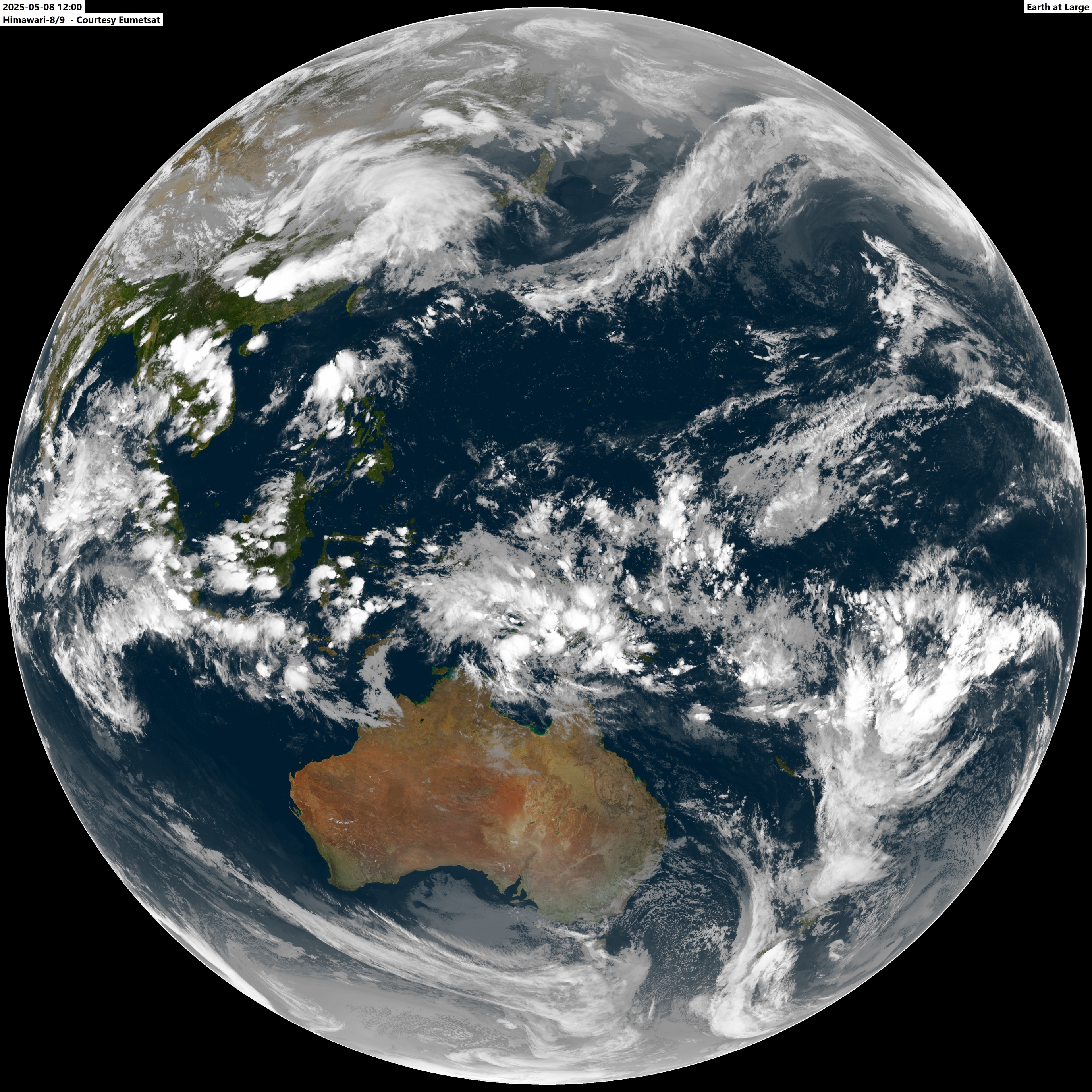
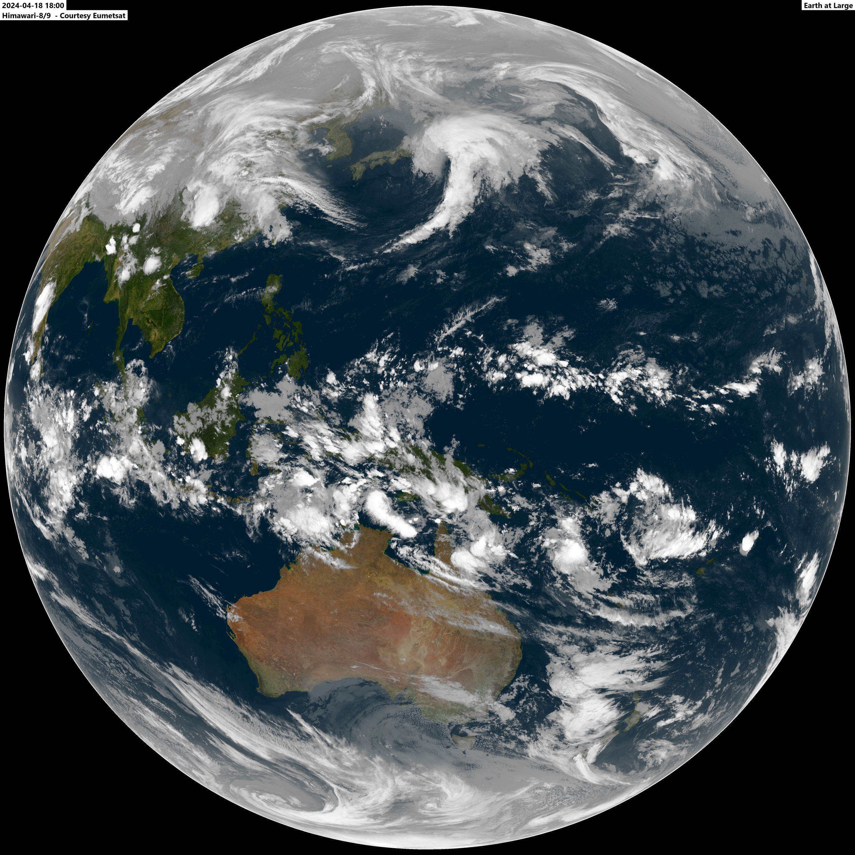
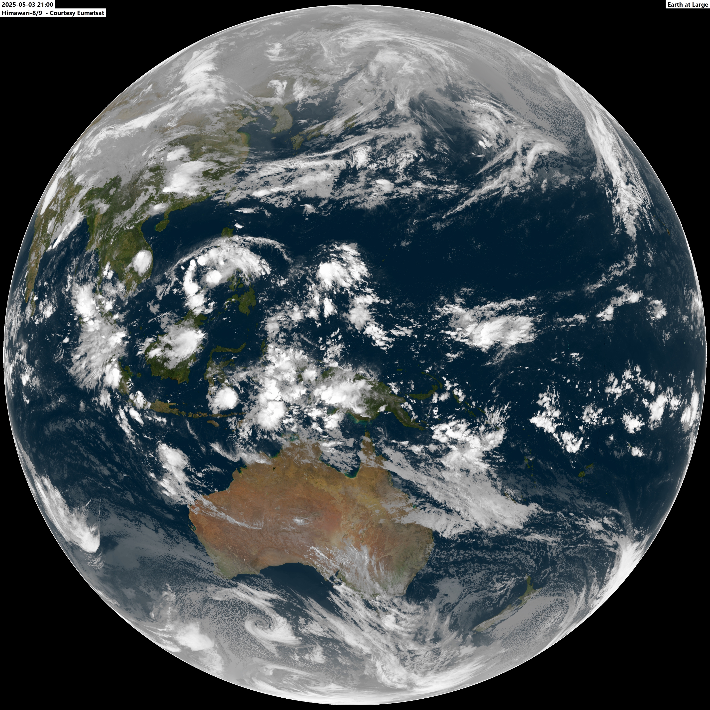
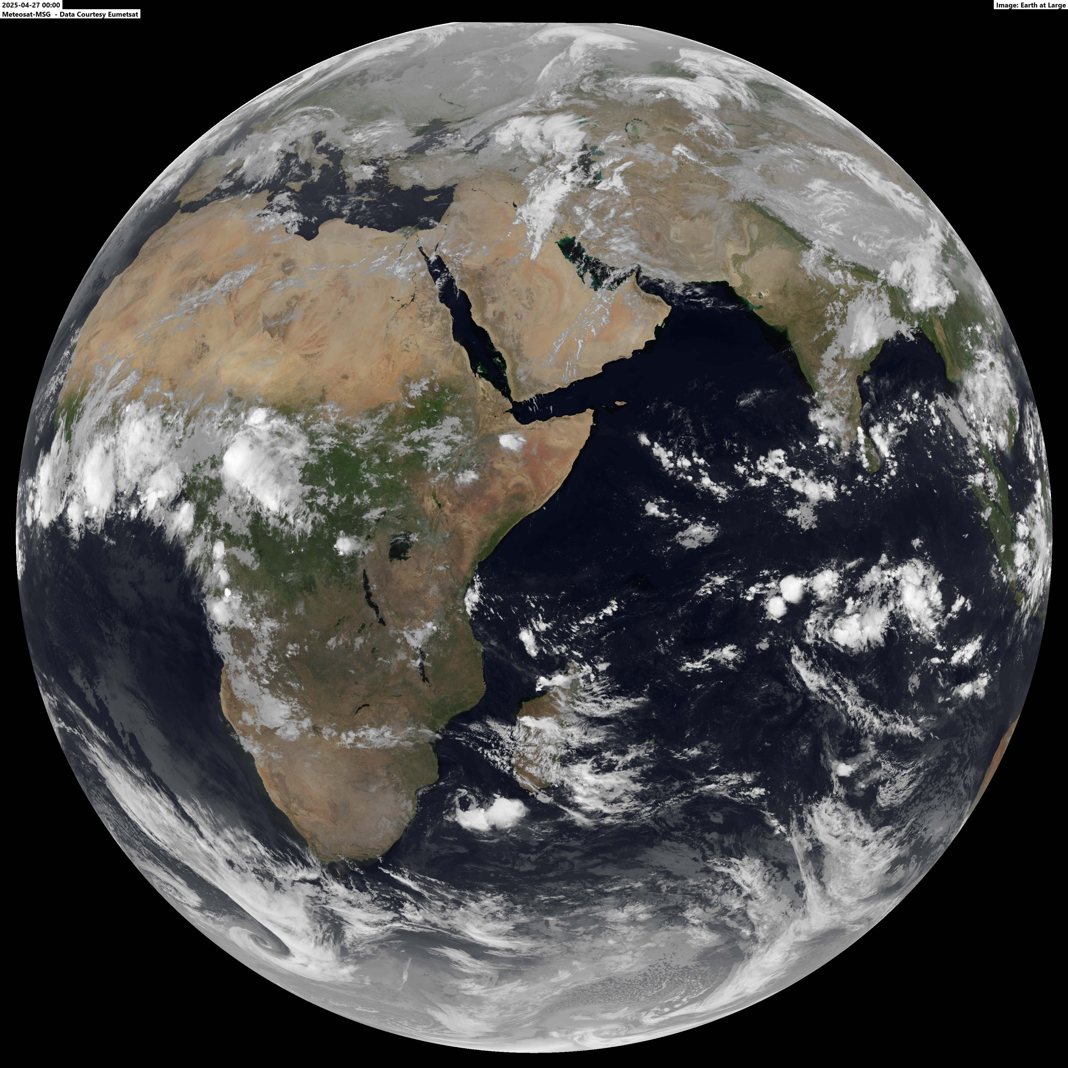
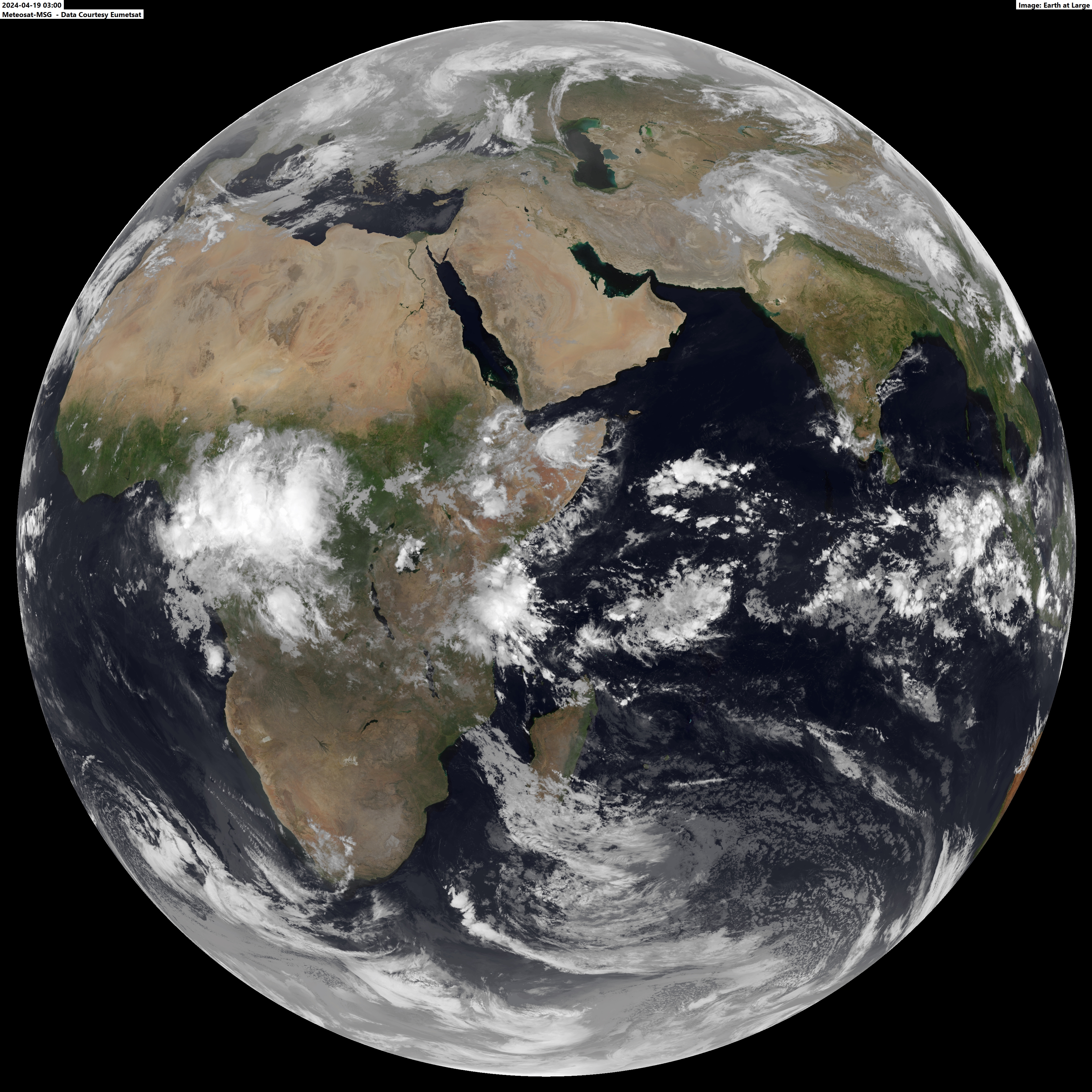
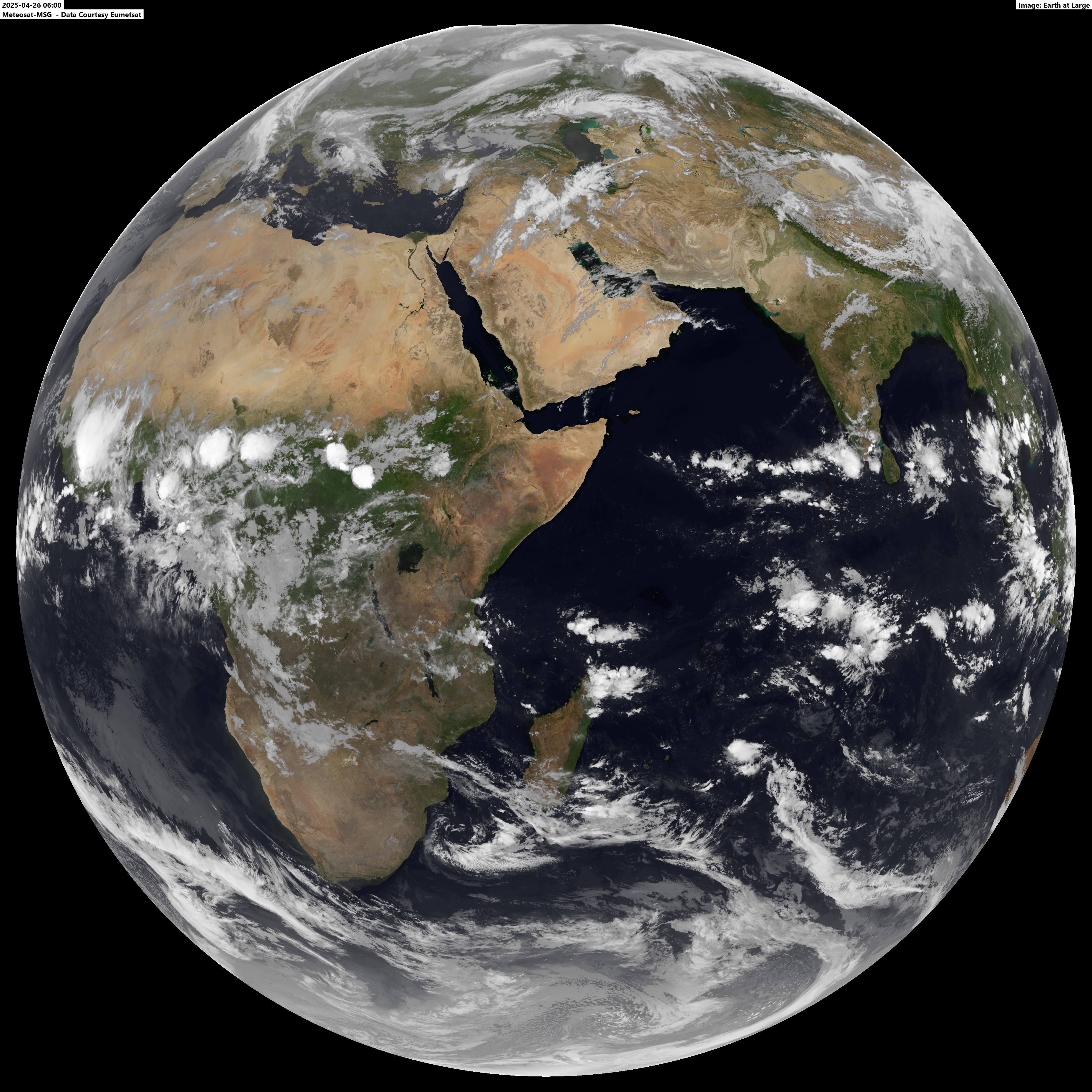
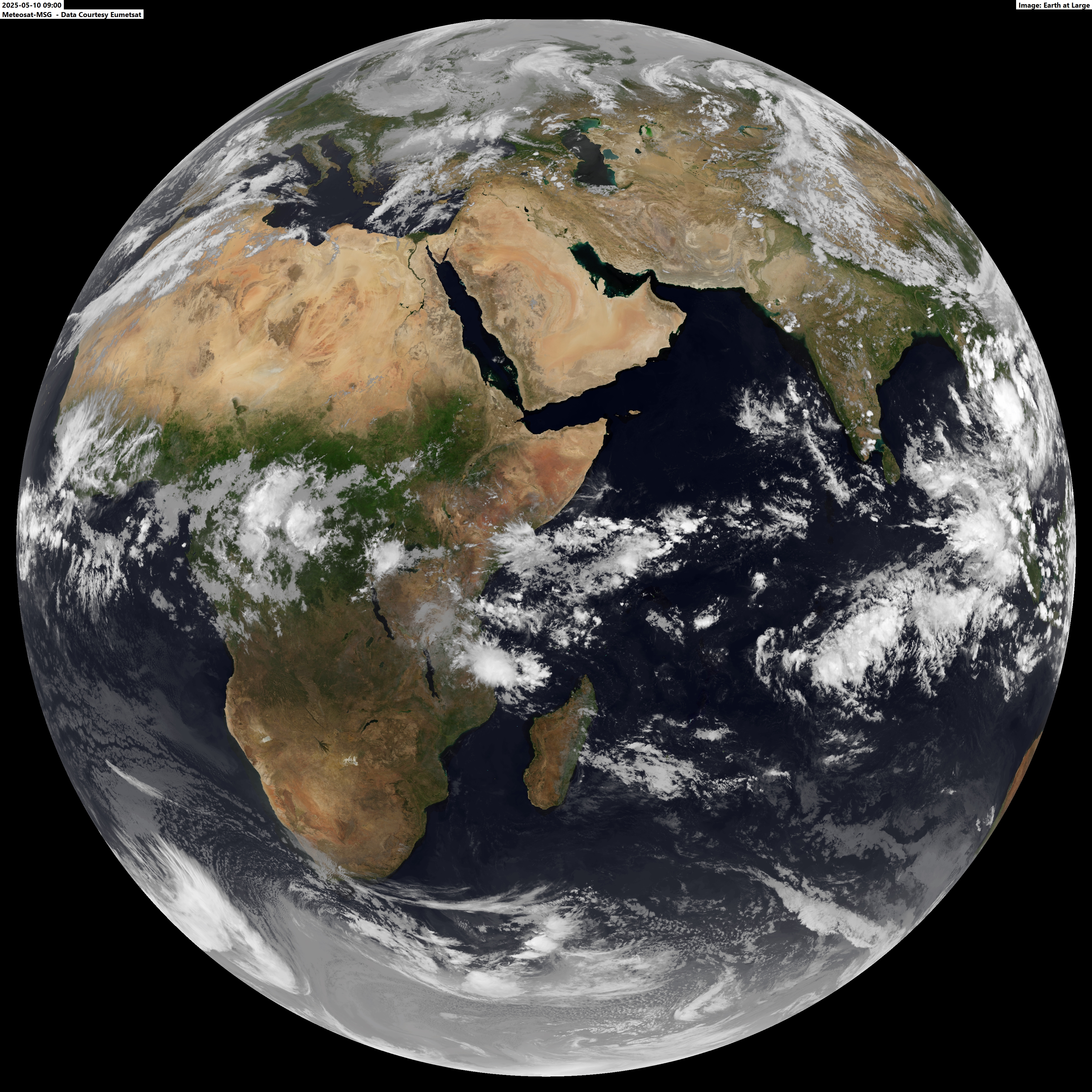
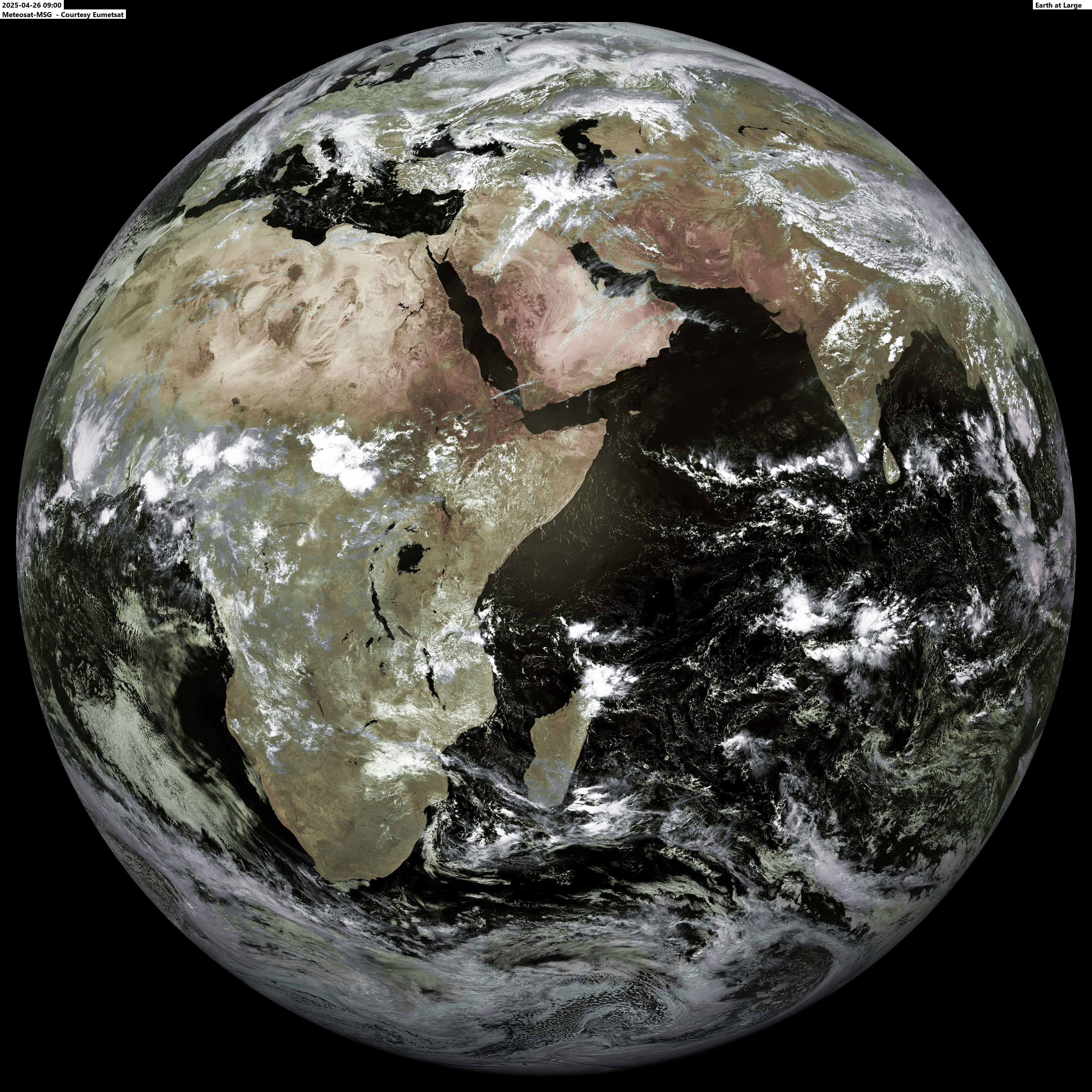
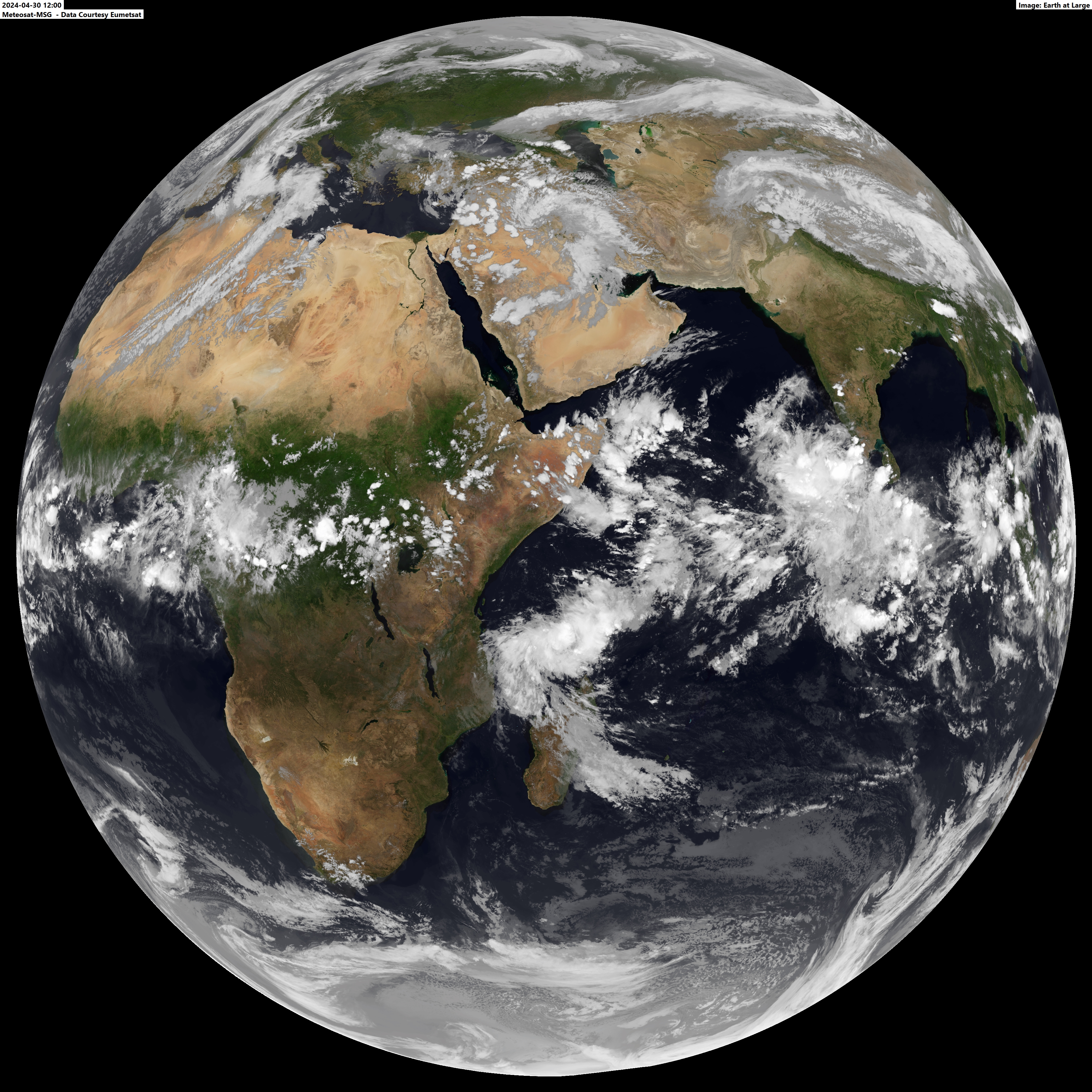
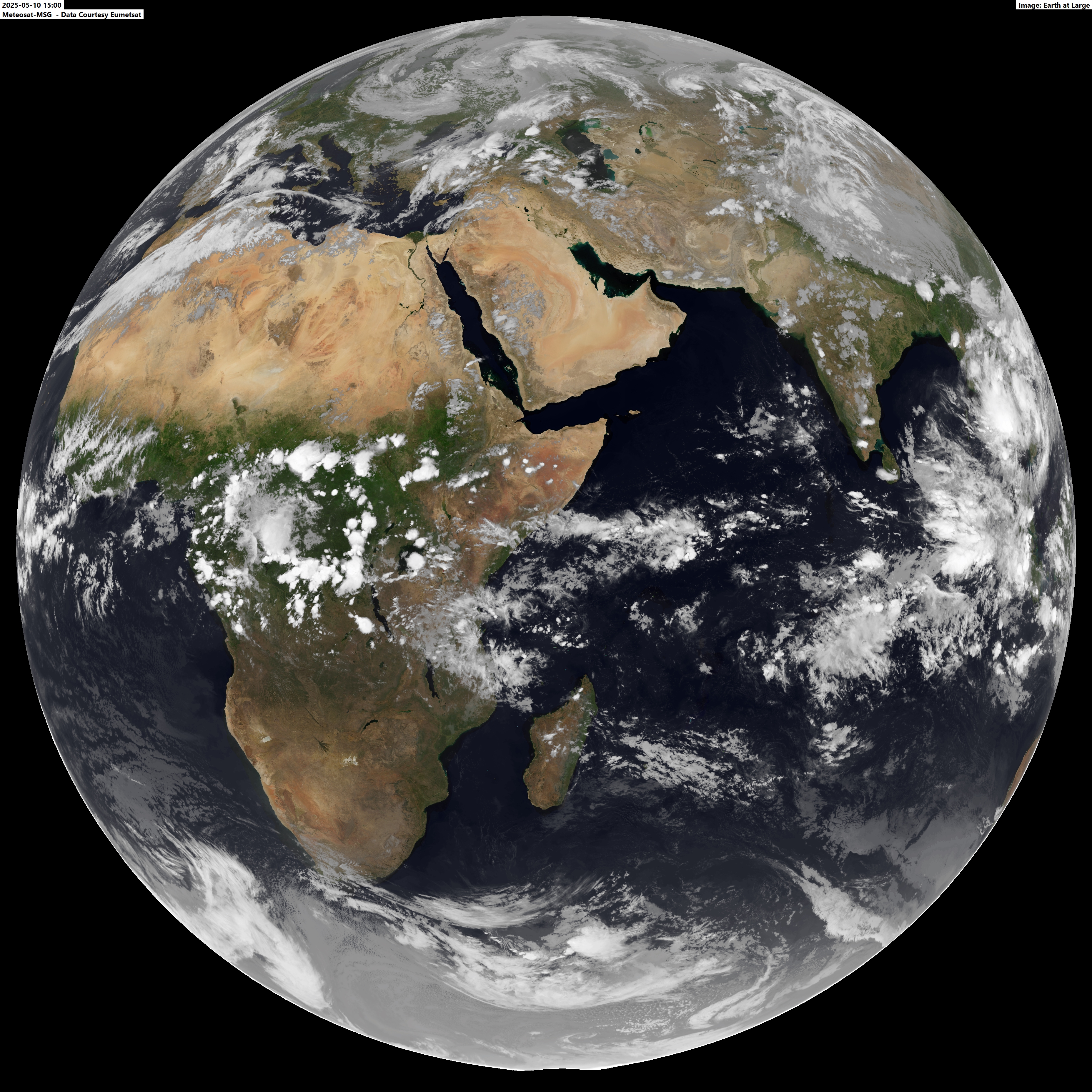
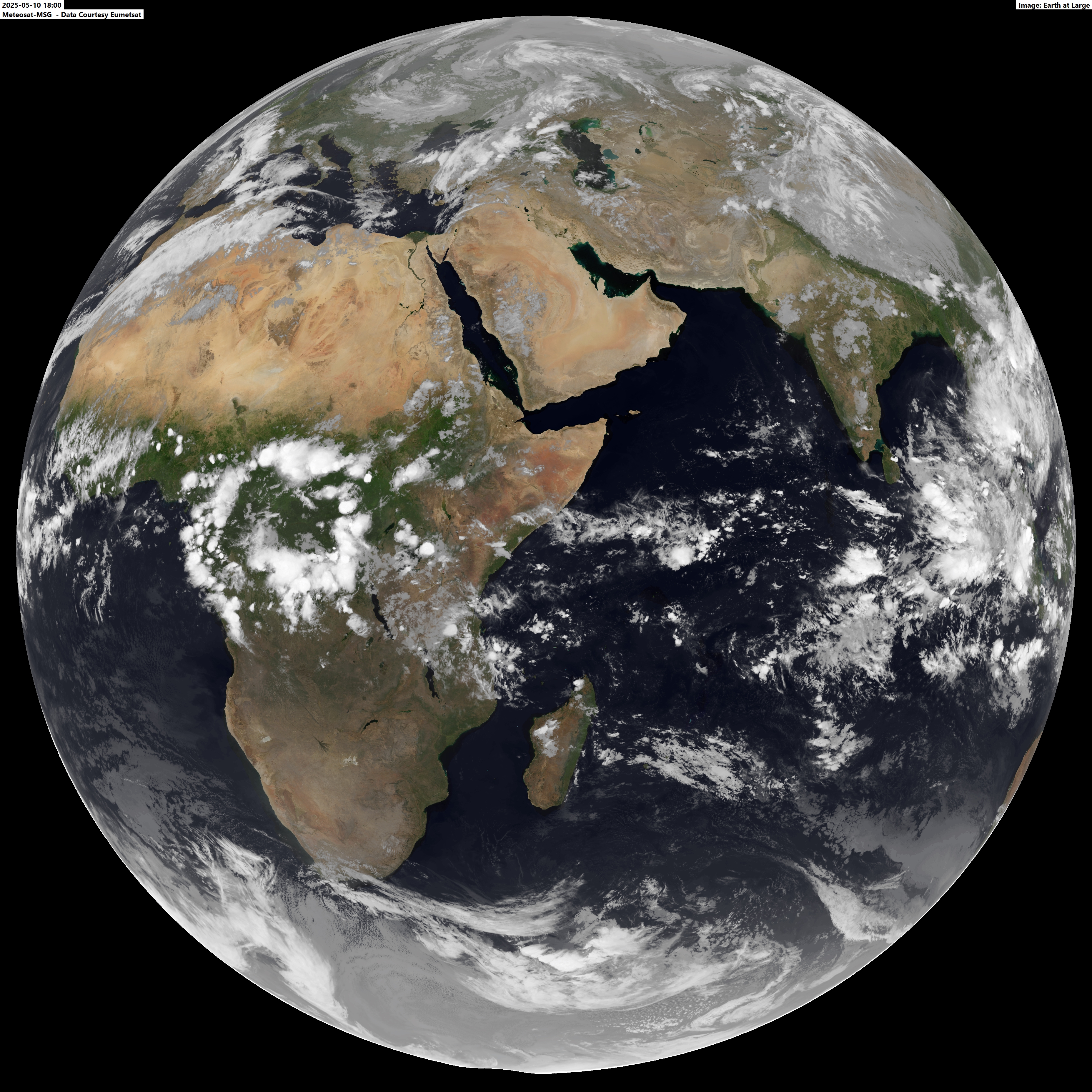
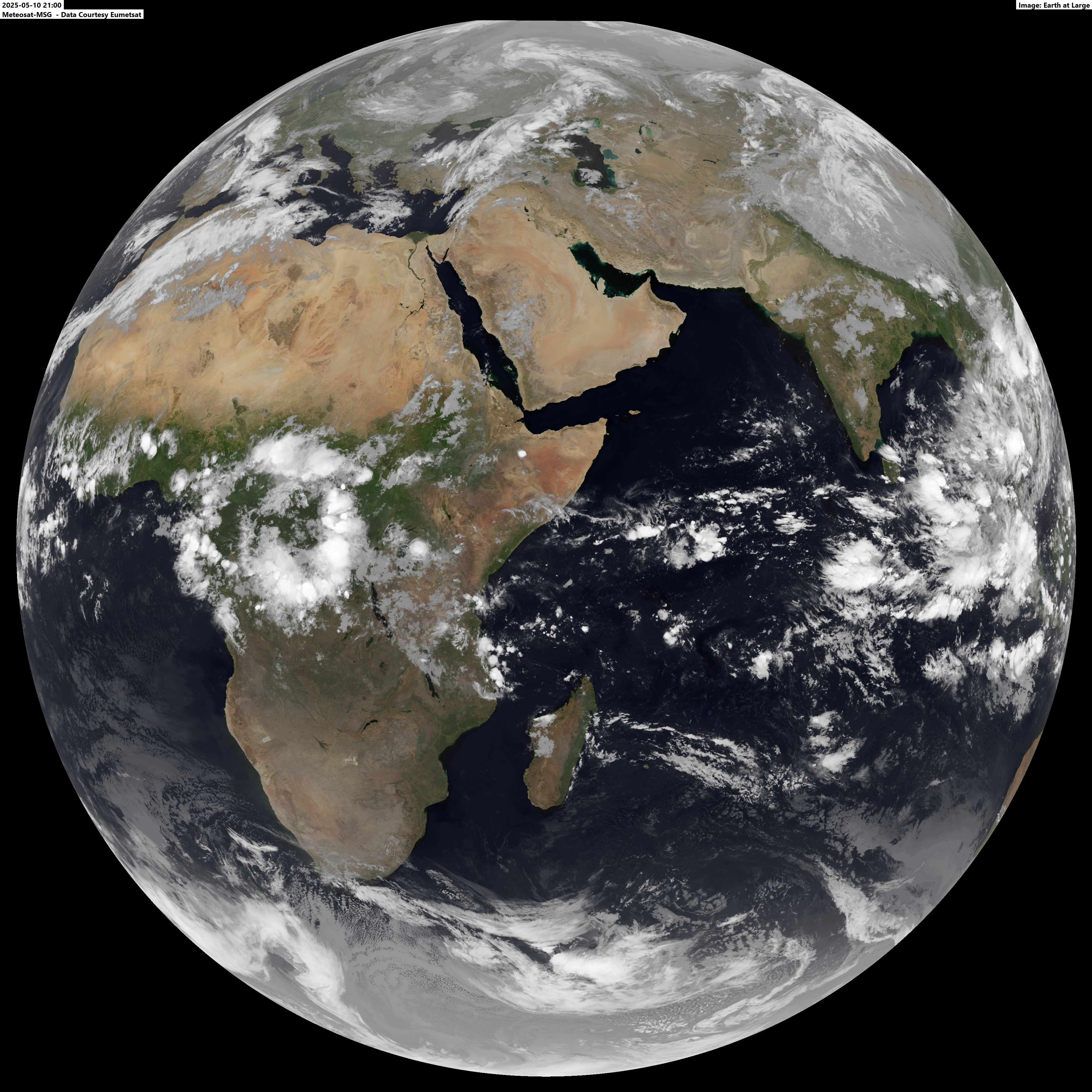
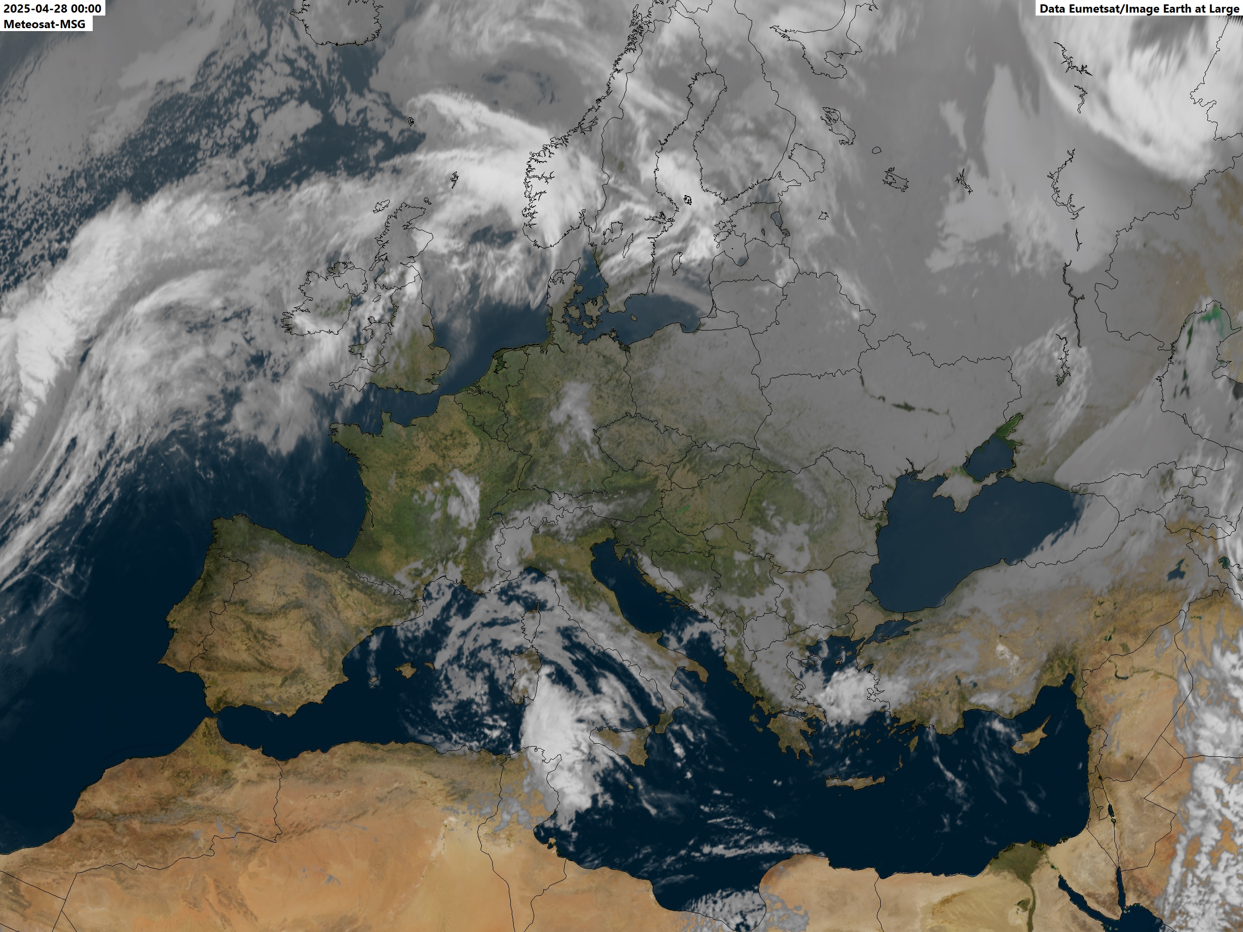
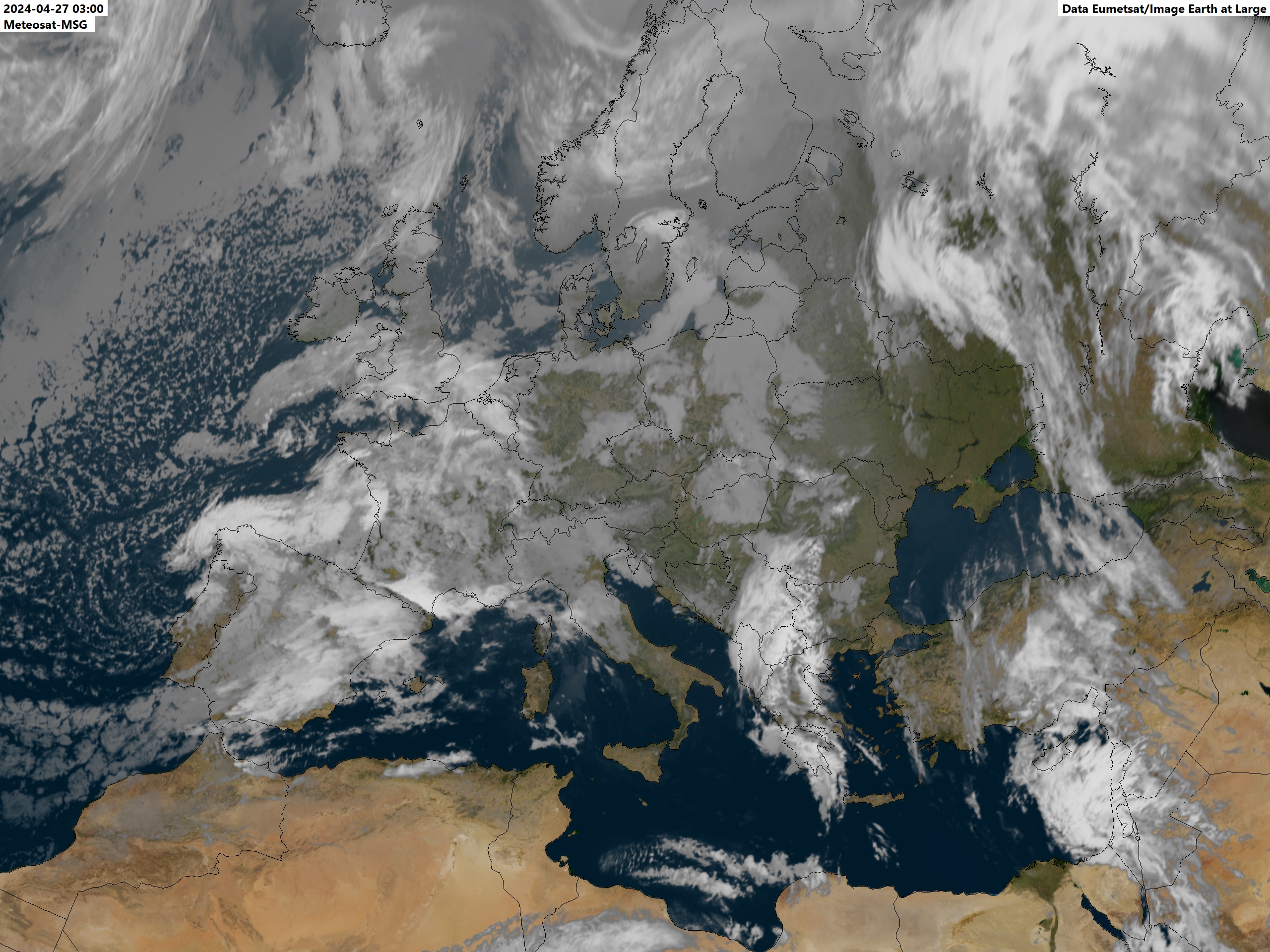
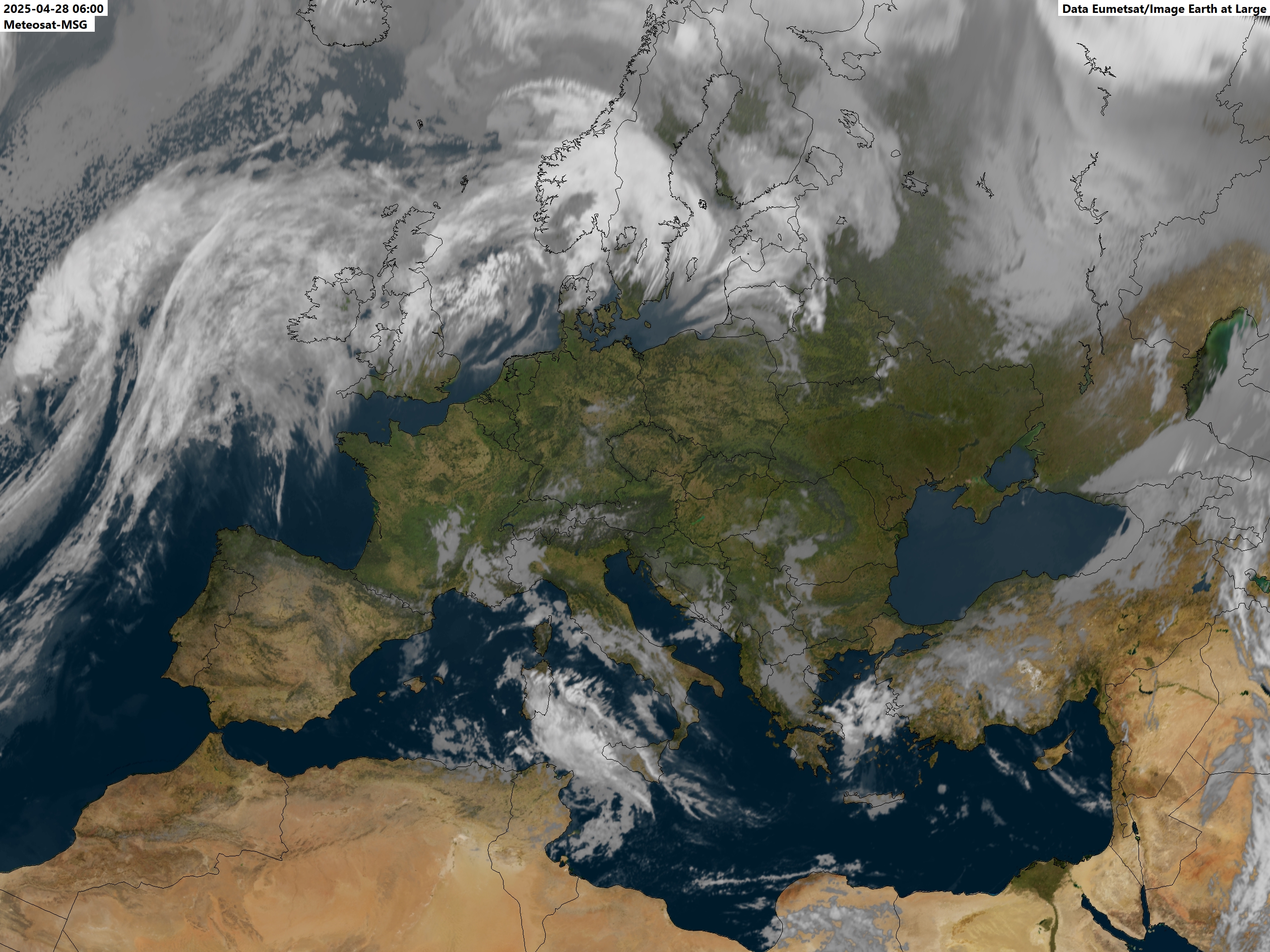
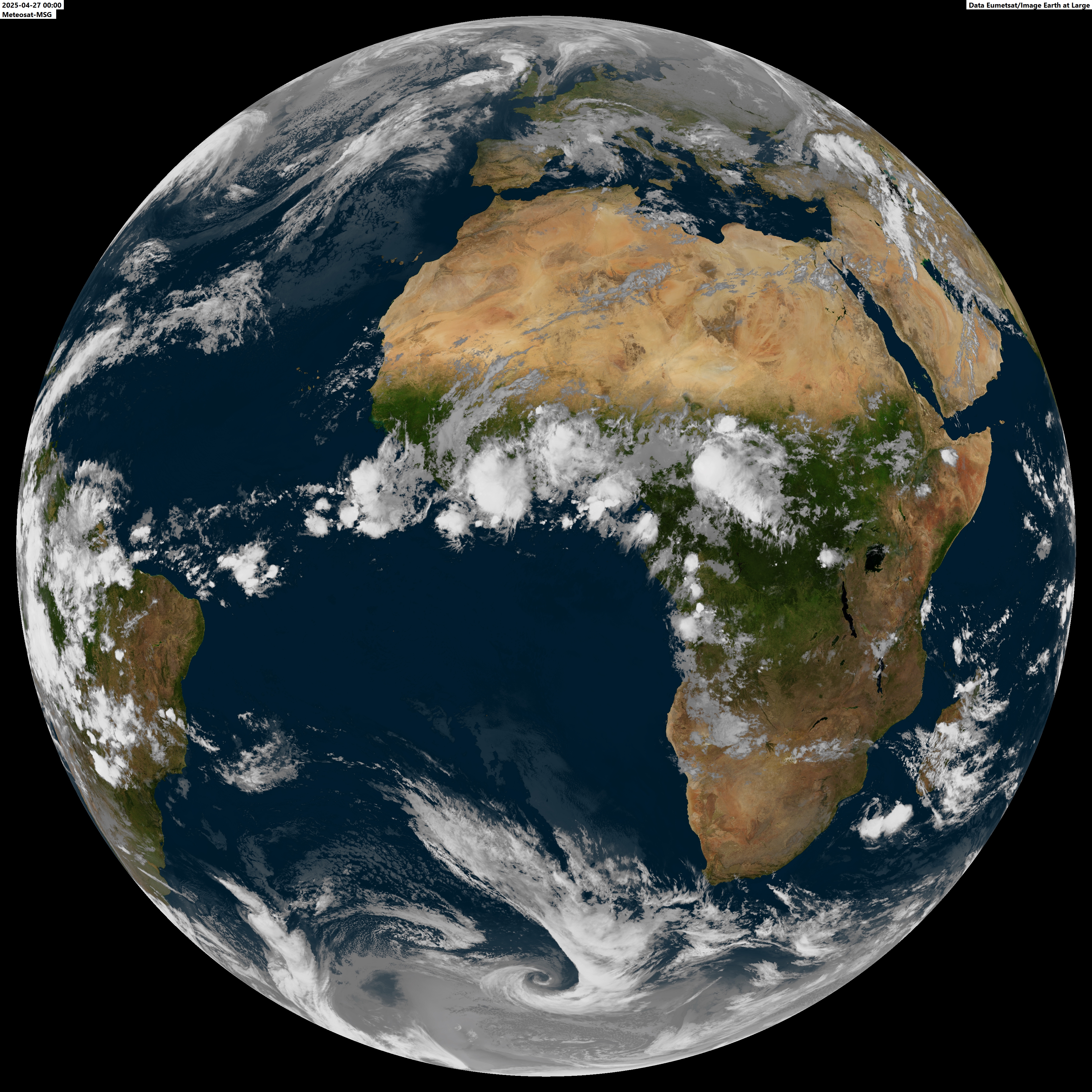
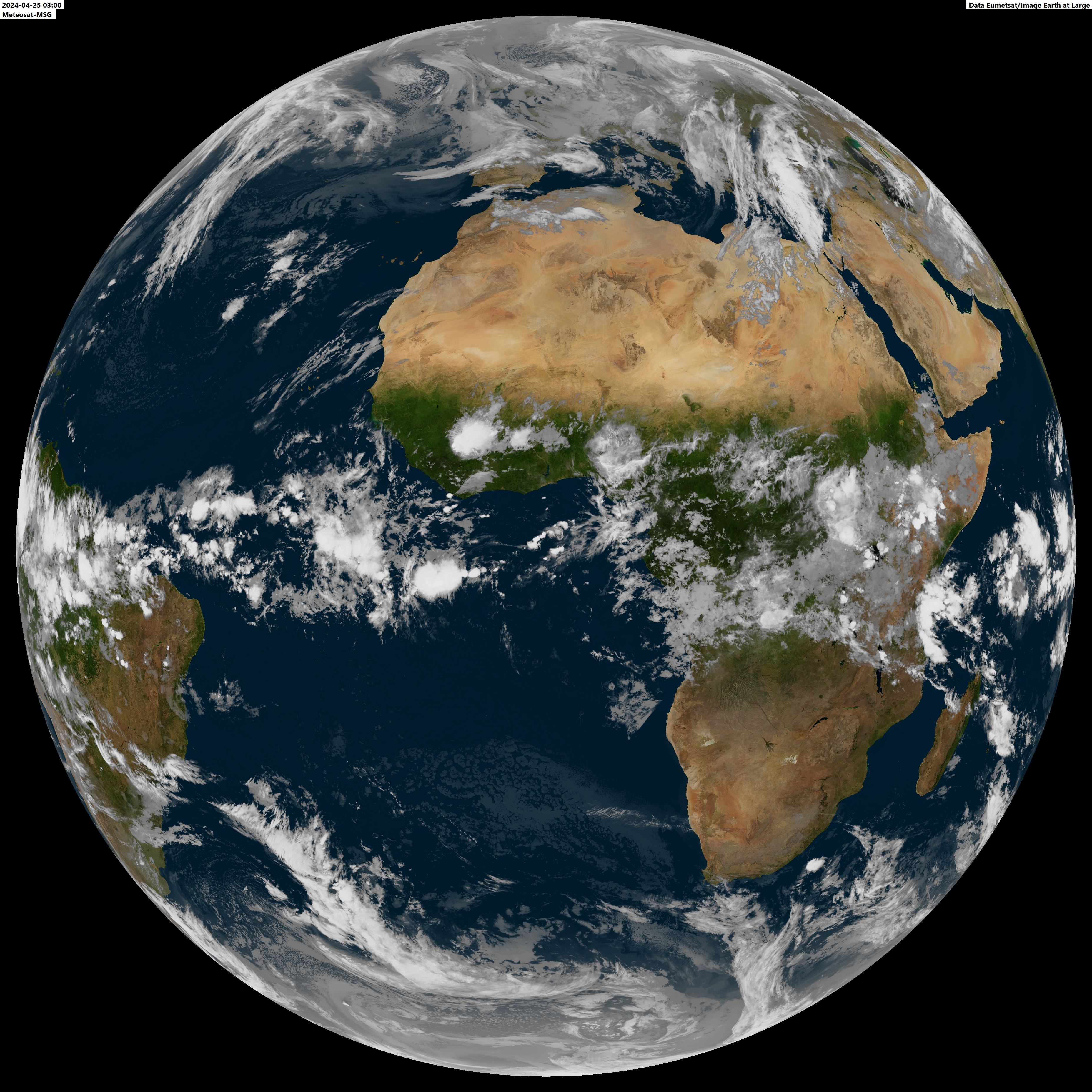
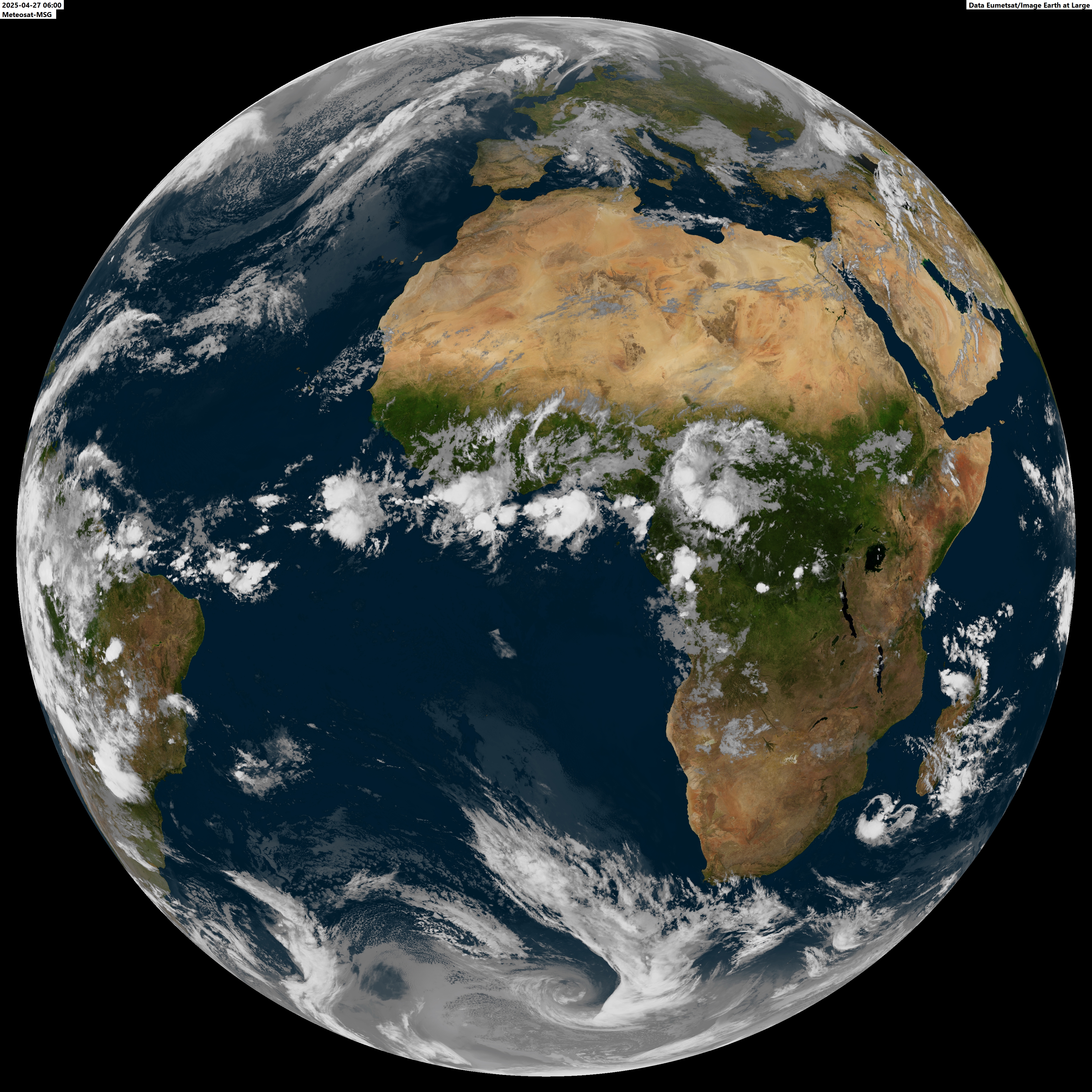
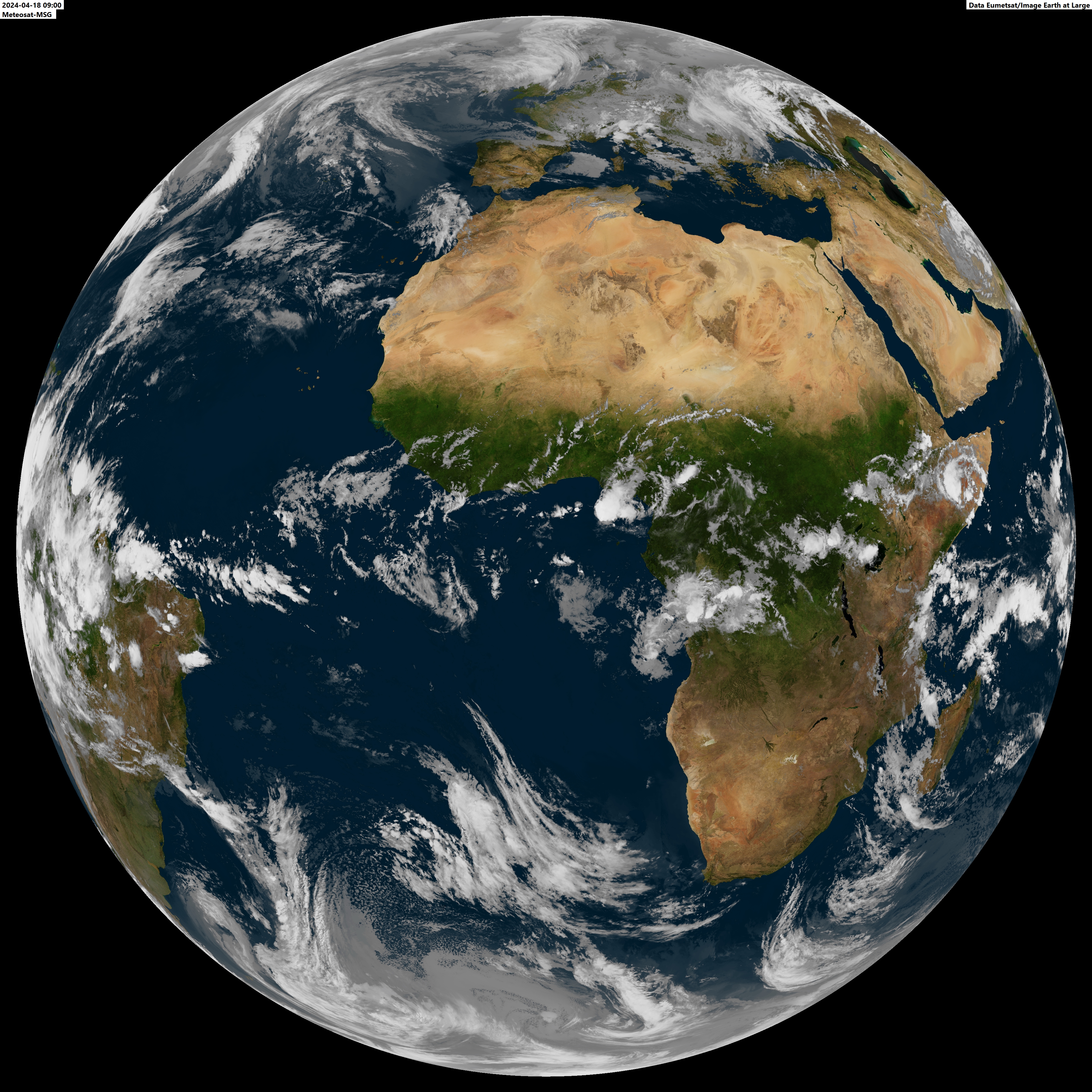
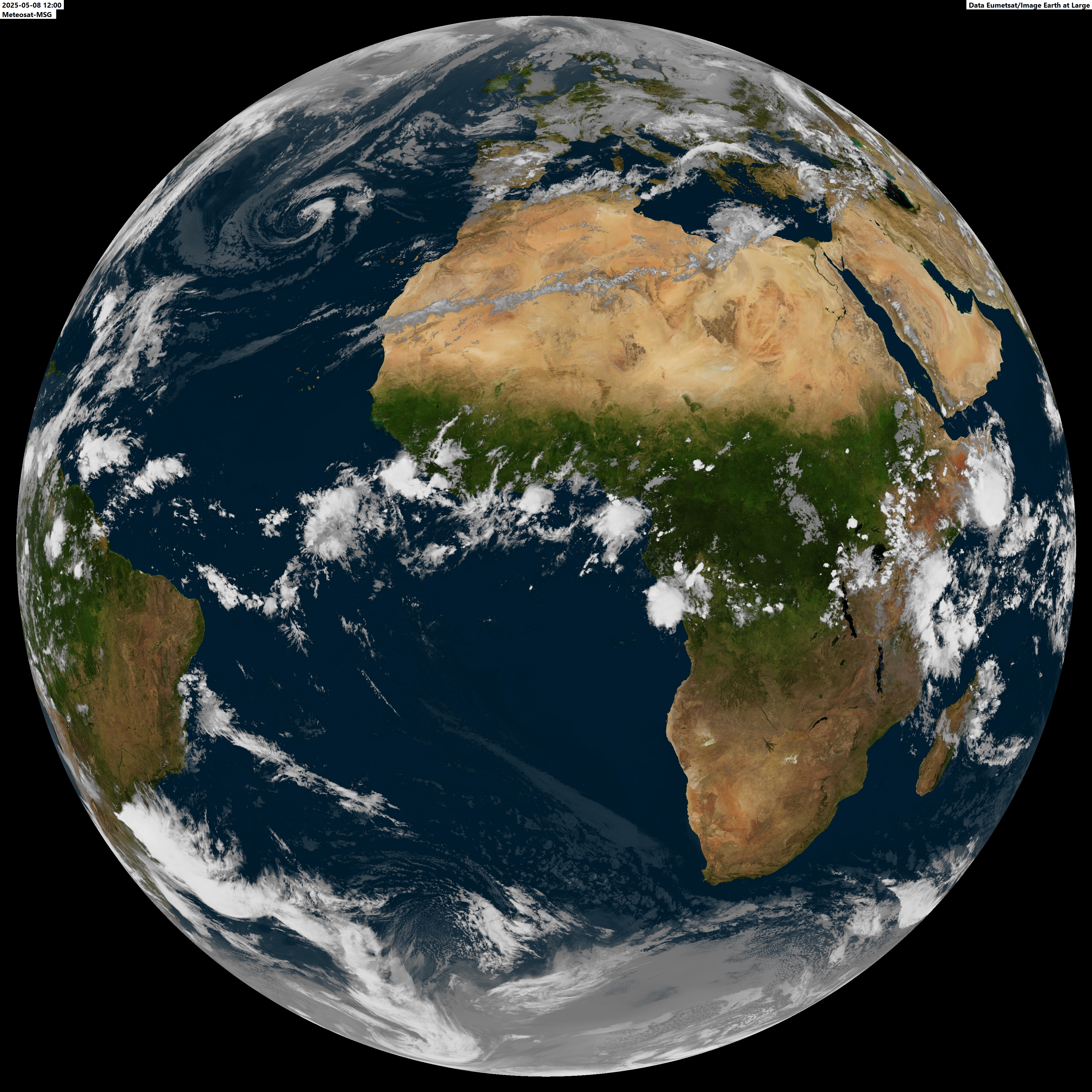
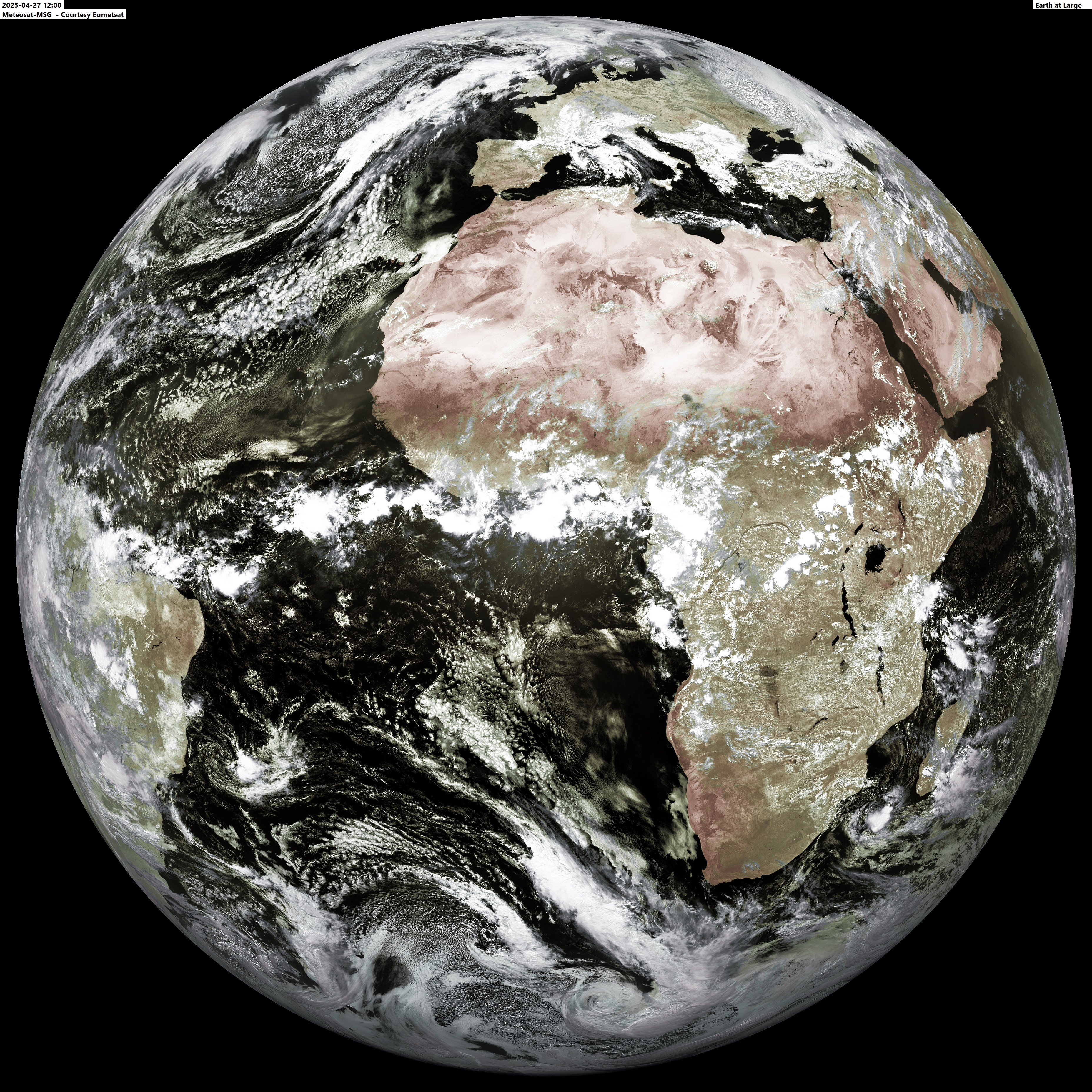
The latest 24 hours of World Weather in images All times are in UTC (z). The local noon image is presented in false colour (combination of visible light and infrared). All other images are IR only with clouds projected over NASA's Blue Marble imagery. All data used to produce the Meteosat images is Courtesy Eumetsat and for the Goes images courtesy NOAA. Image production and associated rights reside with Ferdinand Valk, Earth at Large. The images accessible via this page may be used as seen fit without permission. In case material is used for publication, a notification is appreciated at <fvalk at earthatlarge dot com> (replace 'at' with @ and 'dot' with '.'). Click on the link for a high resolution view of a timeslot per satellite. The "Latest 24 hours of World Weather" images are continuously refreshed.
Himawari - East Asia, Australia and Pacific Meteosat 8 - Central Asia and Indian Ocean 00:00z 03:00z 06:00z 09:00z 09:00z Vis 12:00z 15:00z 18:00z 21:00z
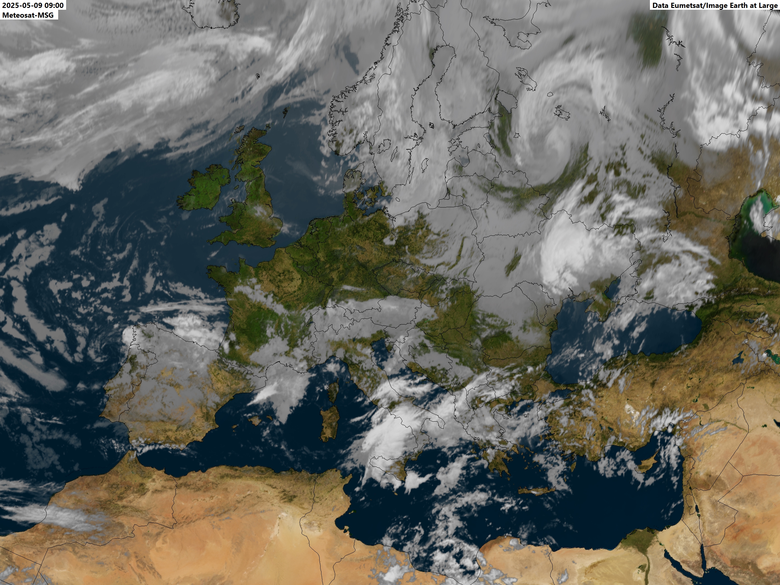
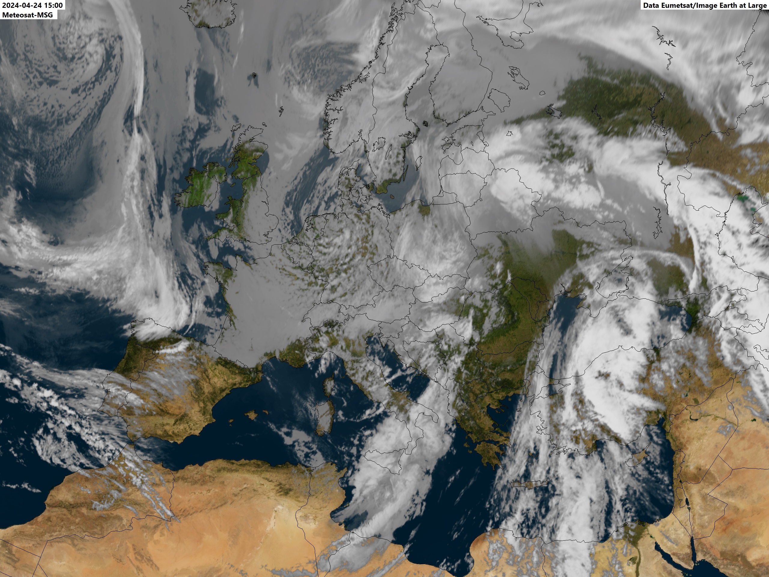
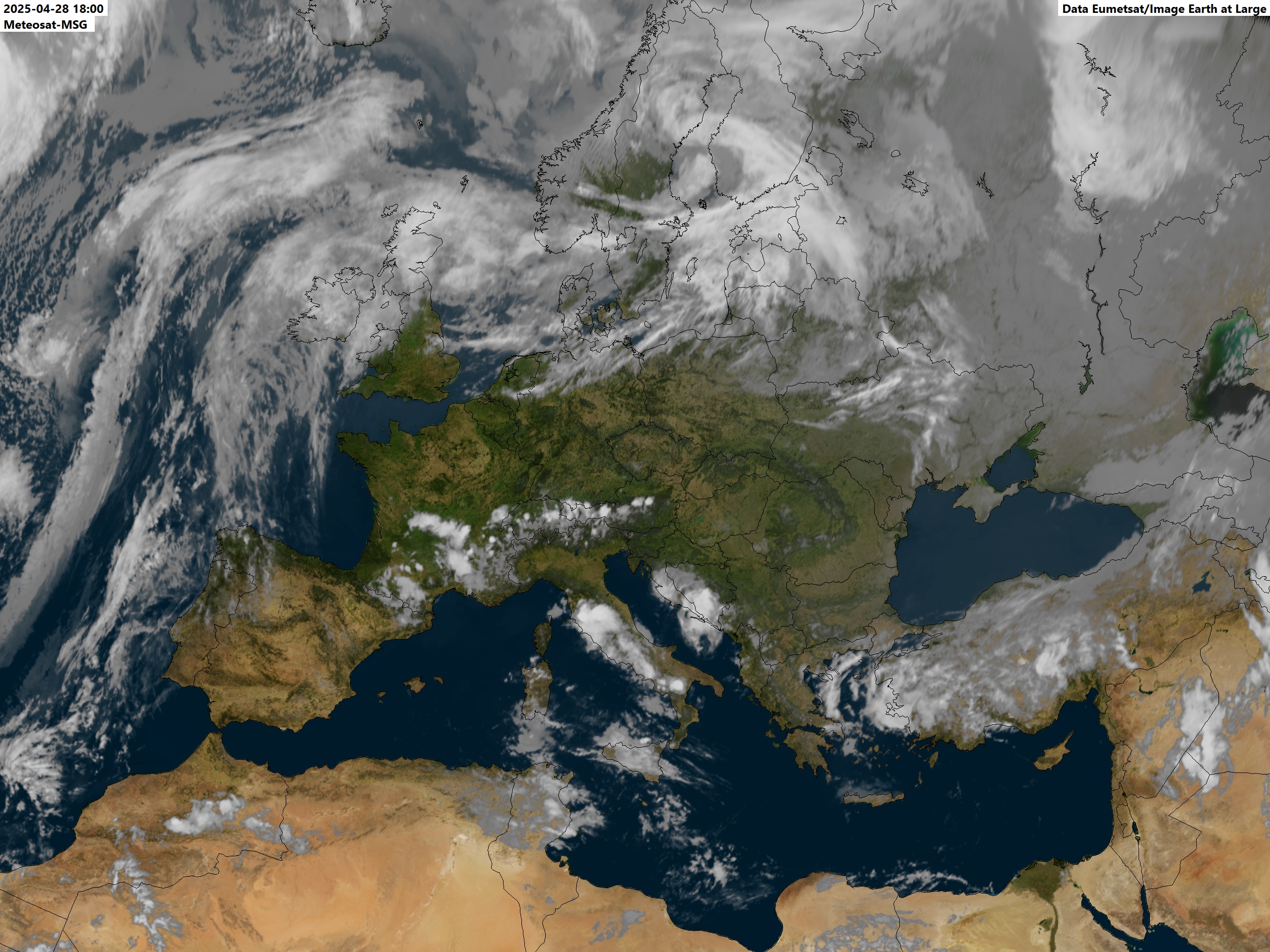
Meteosat 12 - View of Greater Europe 00:00z 03:00z 06:00z 09:00z 12:00z 12:00z Vis 15:00z 18:00z 21:00z
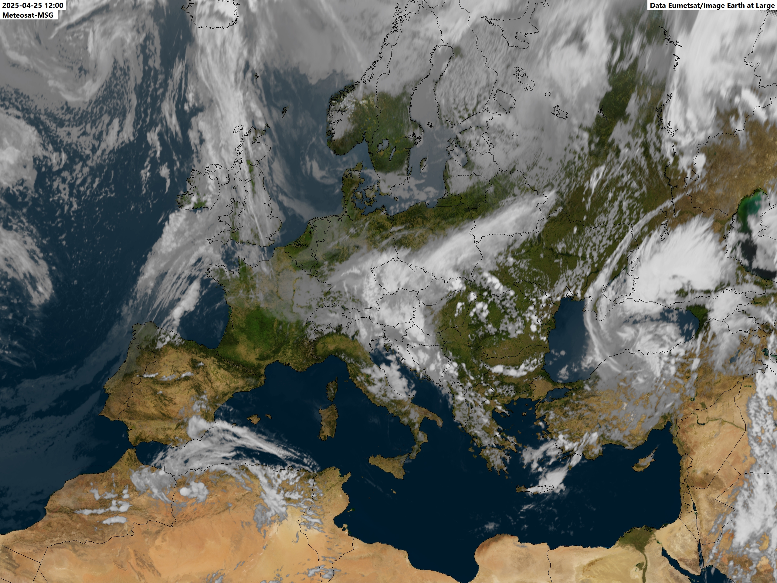
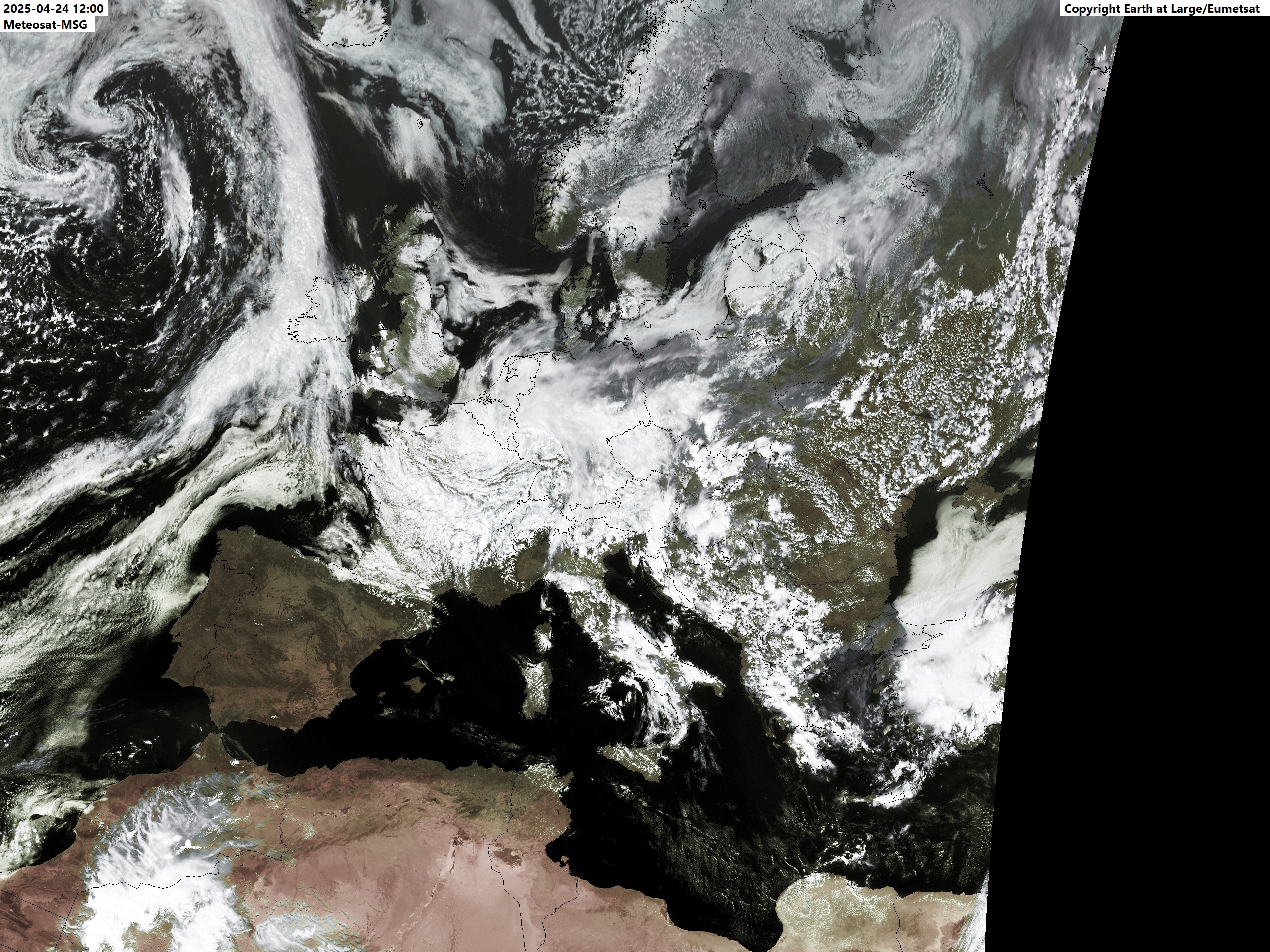
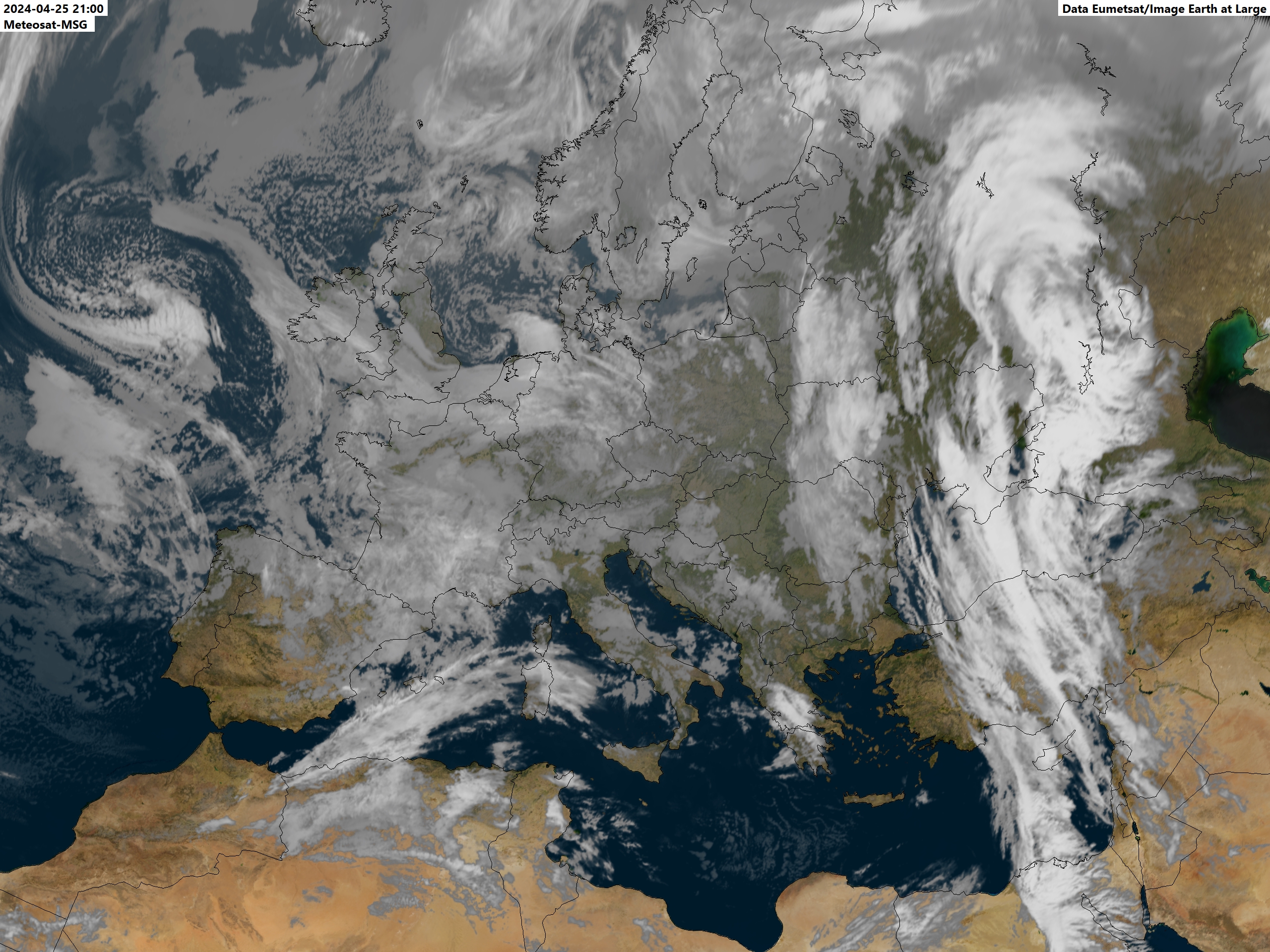
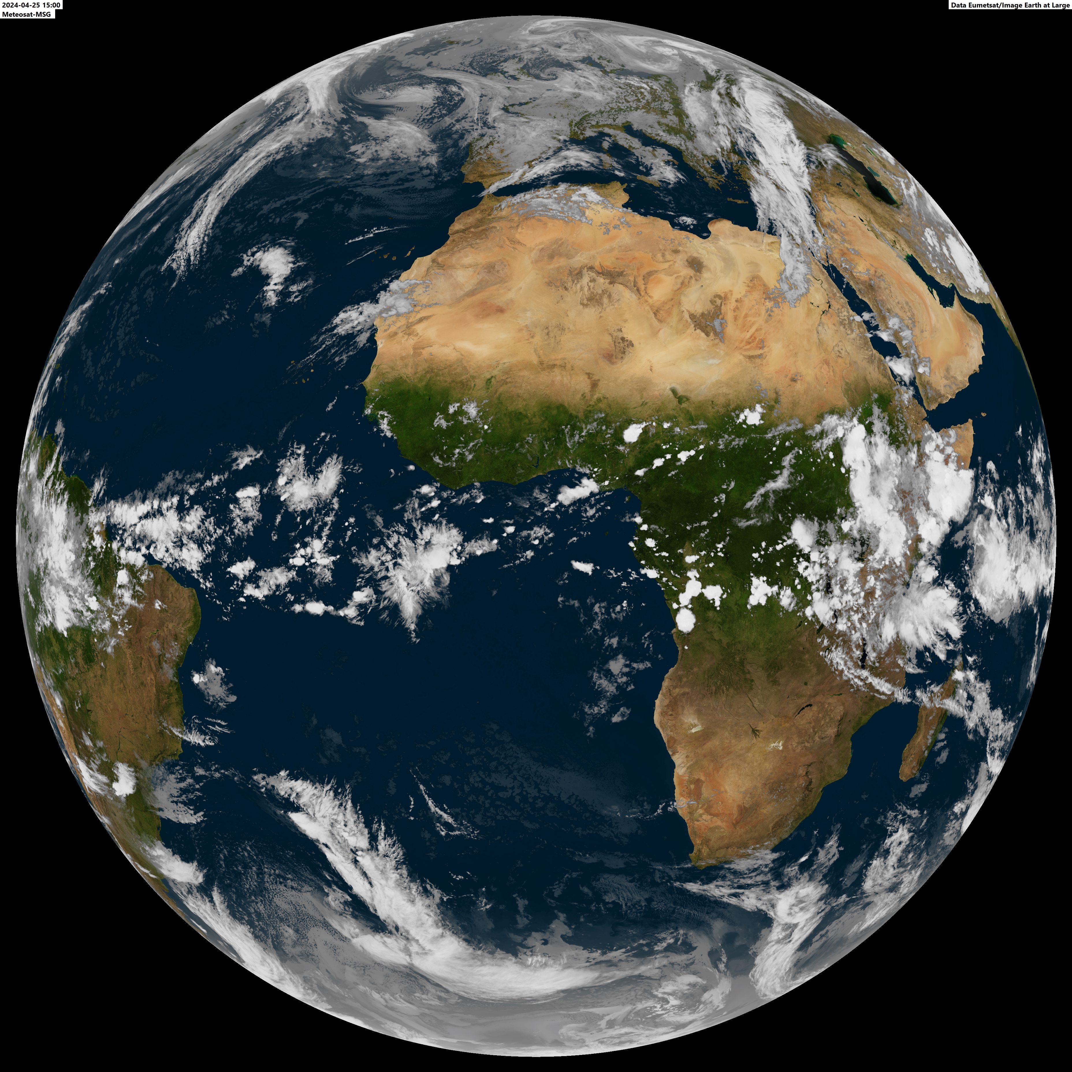
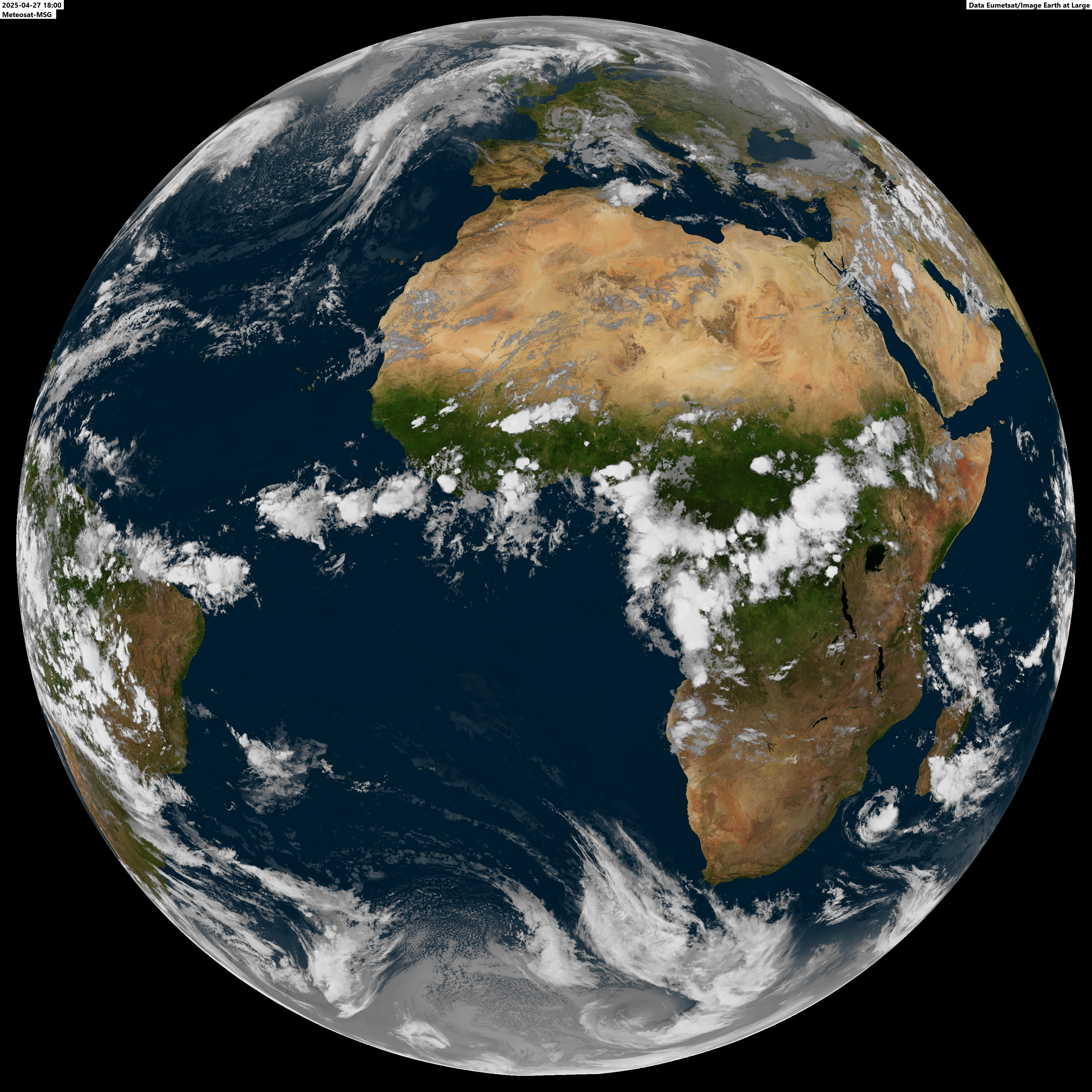
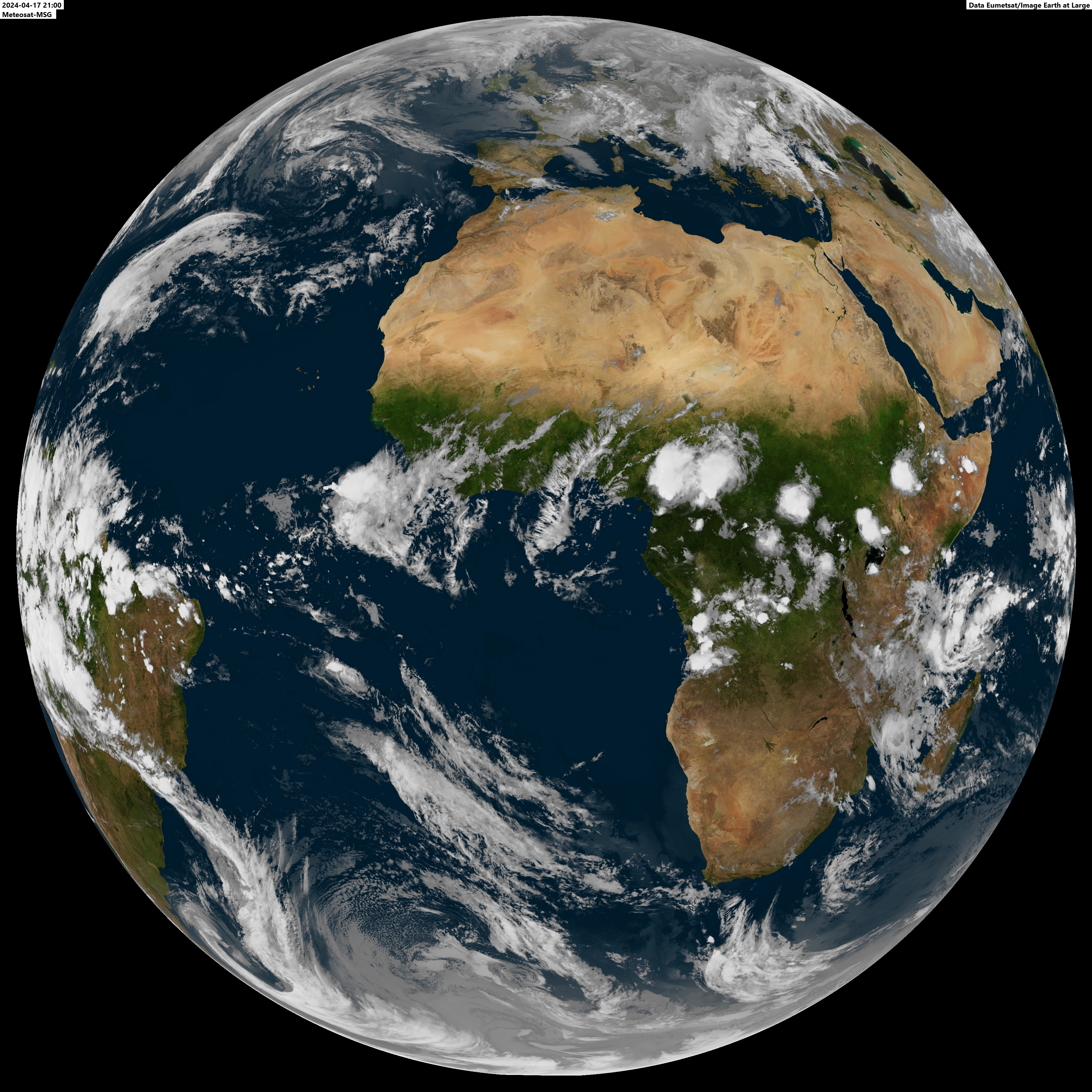
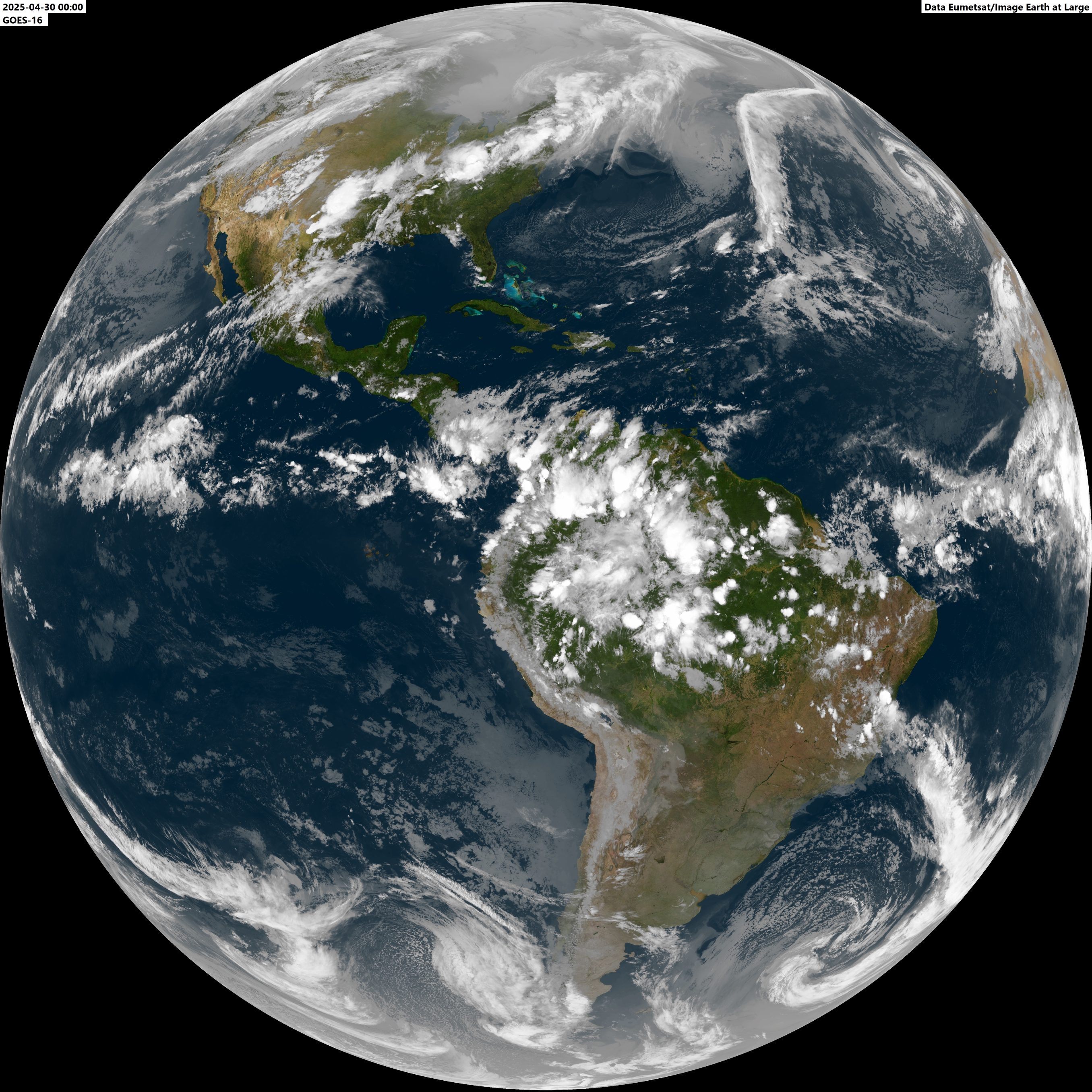
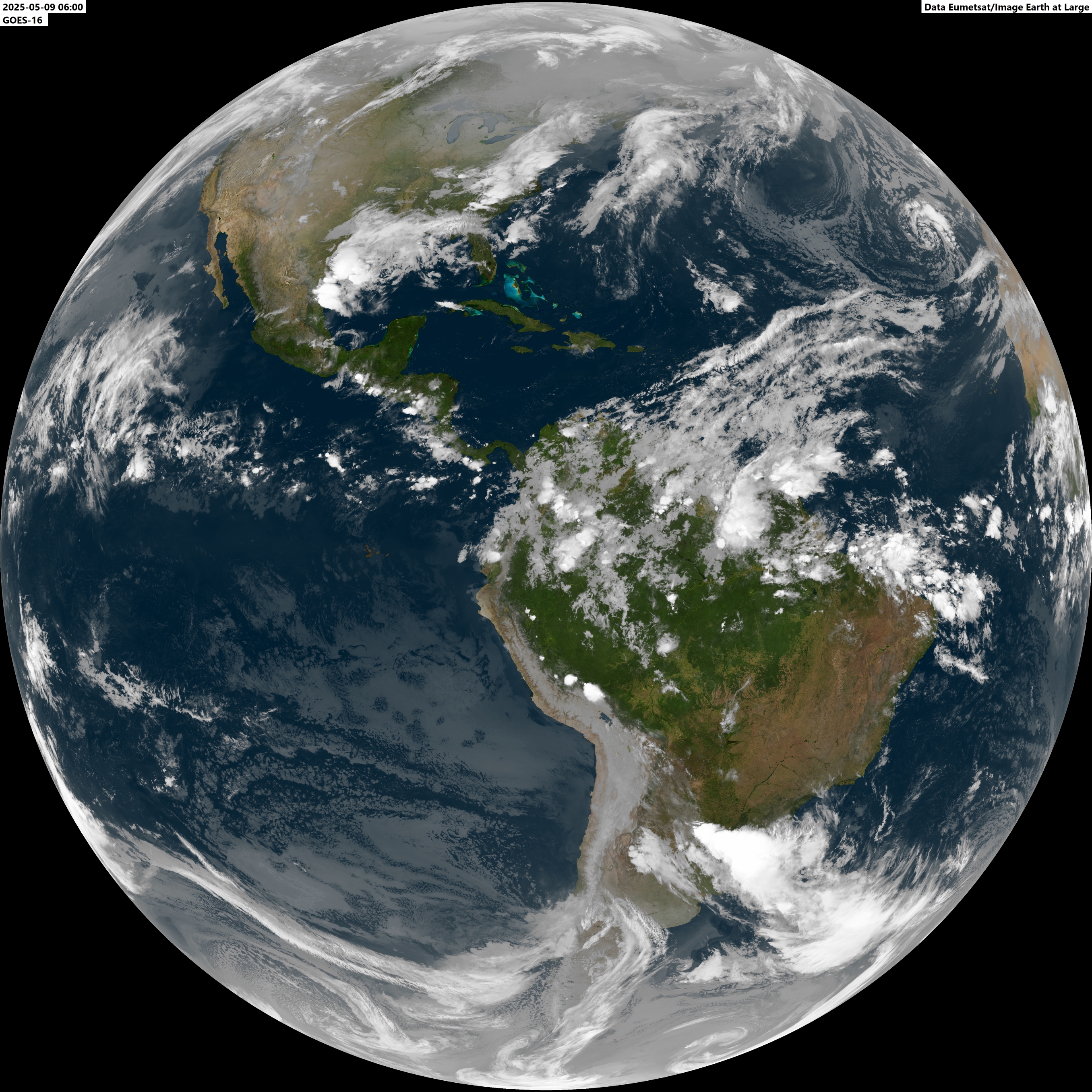
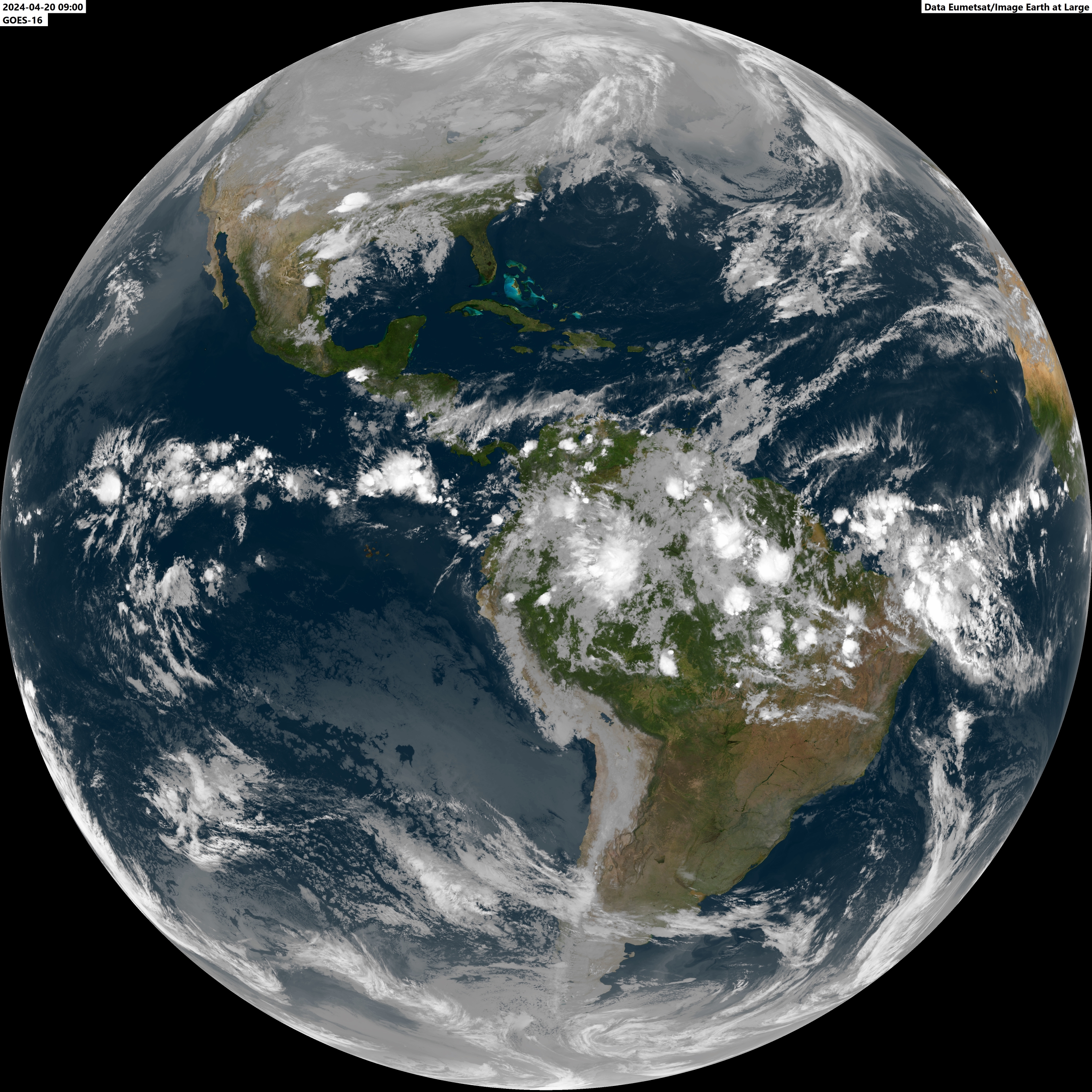
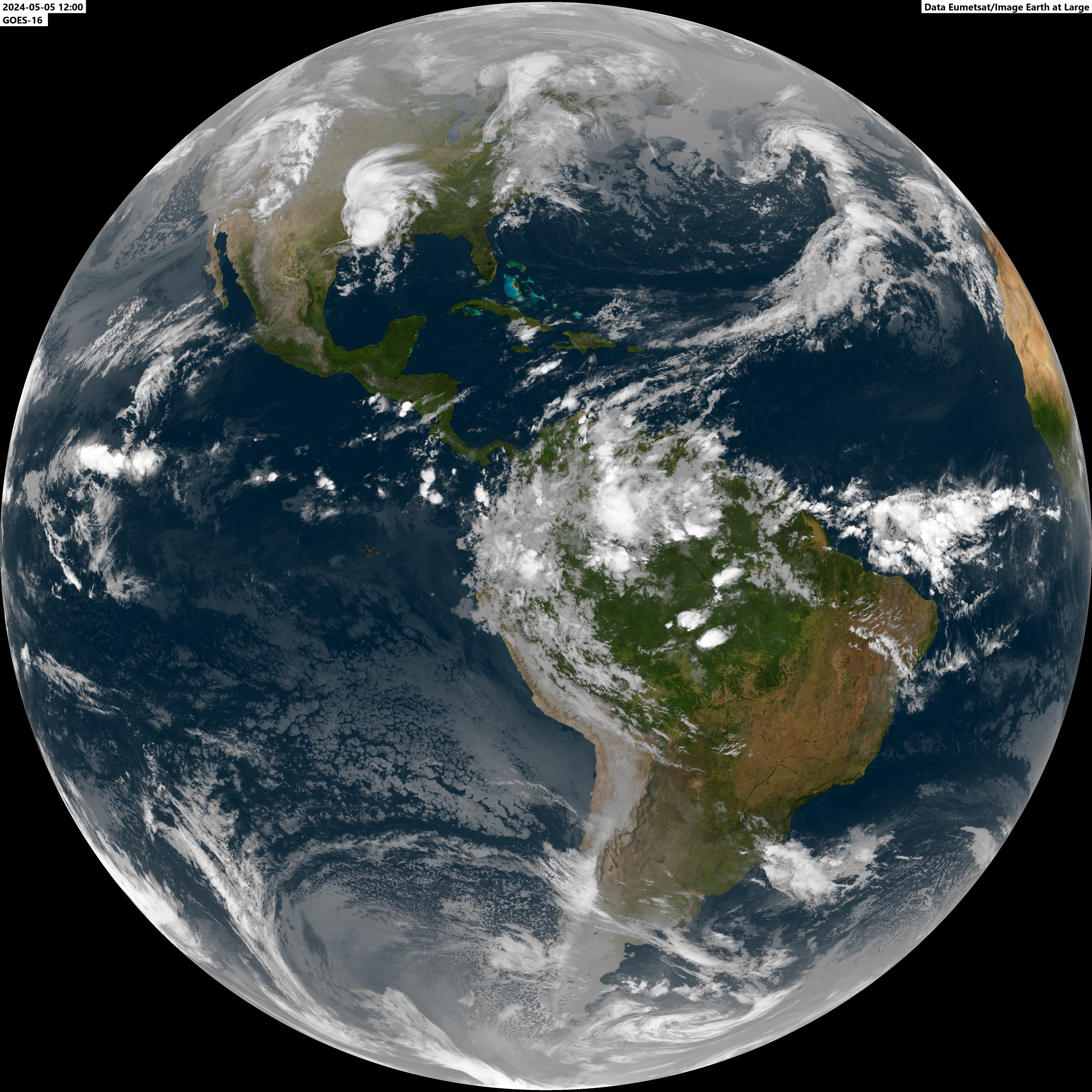
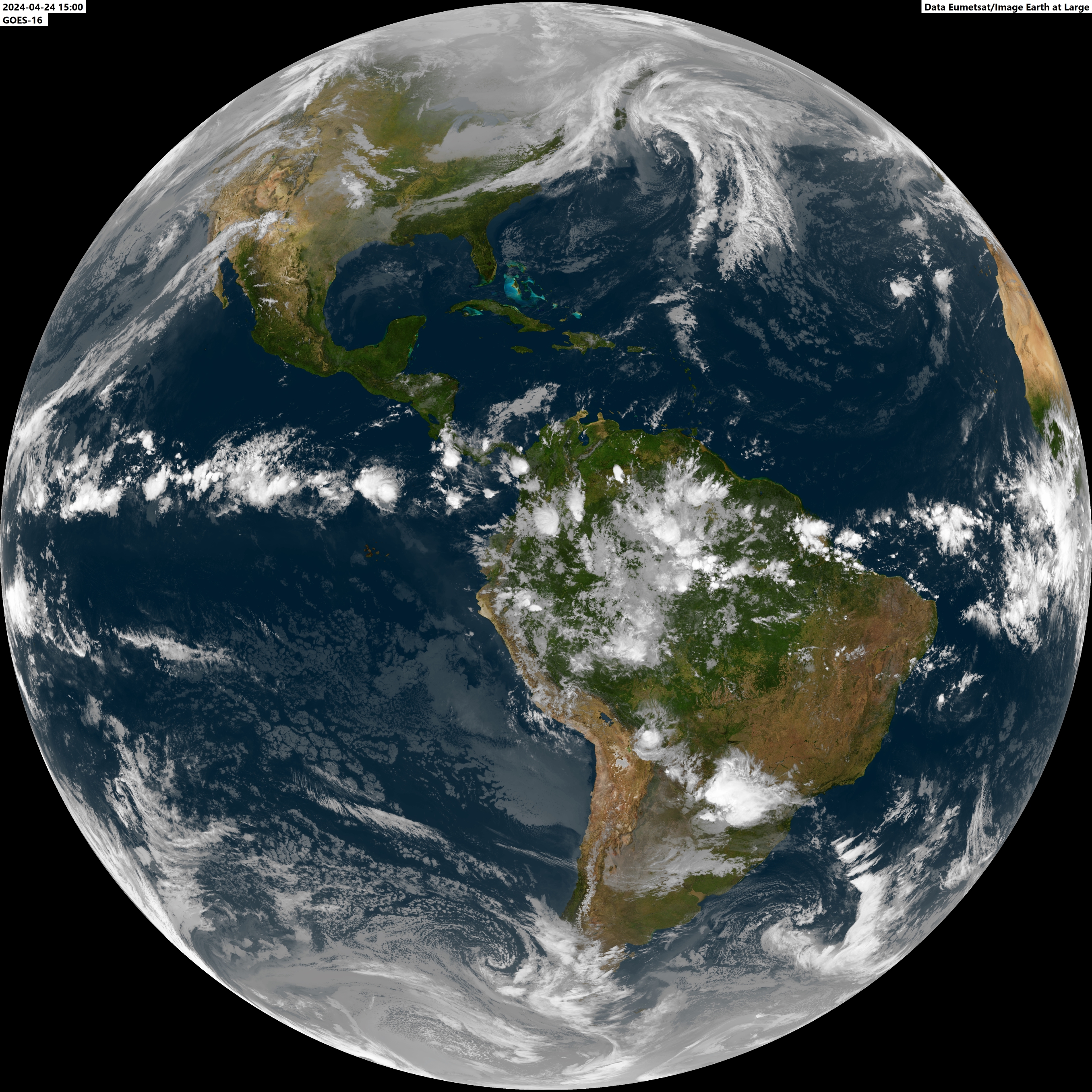
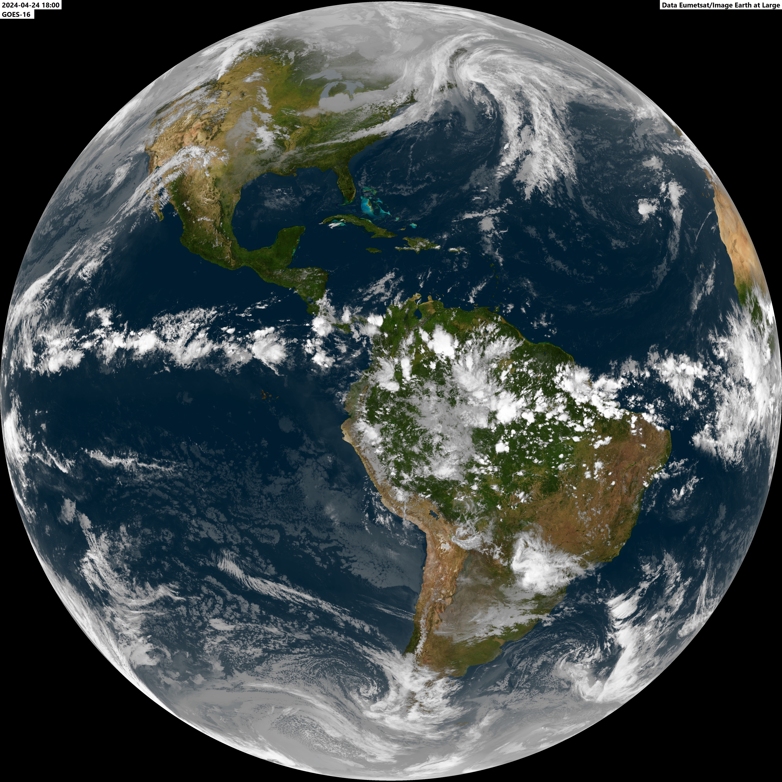
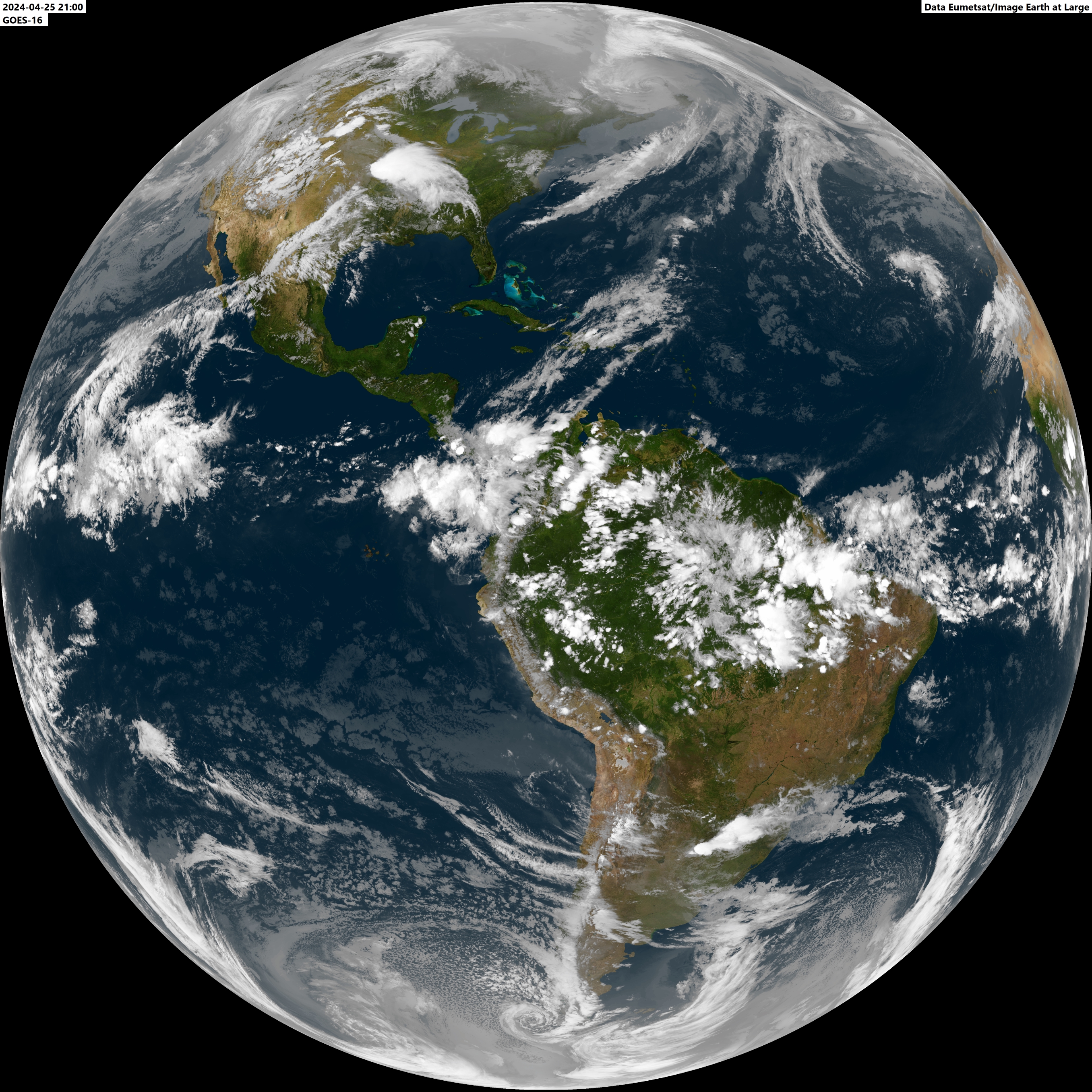
Meteosat 12 - Europe, Africa and Atlantic Ocean Goes East - The Americas 00:00z 03:00z 06:00z 09:00z 12:00z 15:00z 18:00z 18:00z Vis 21:00z
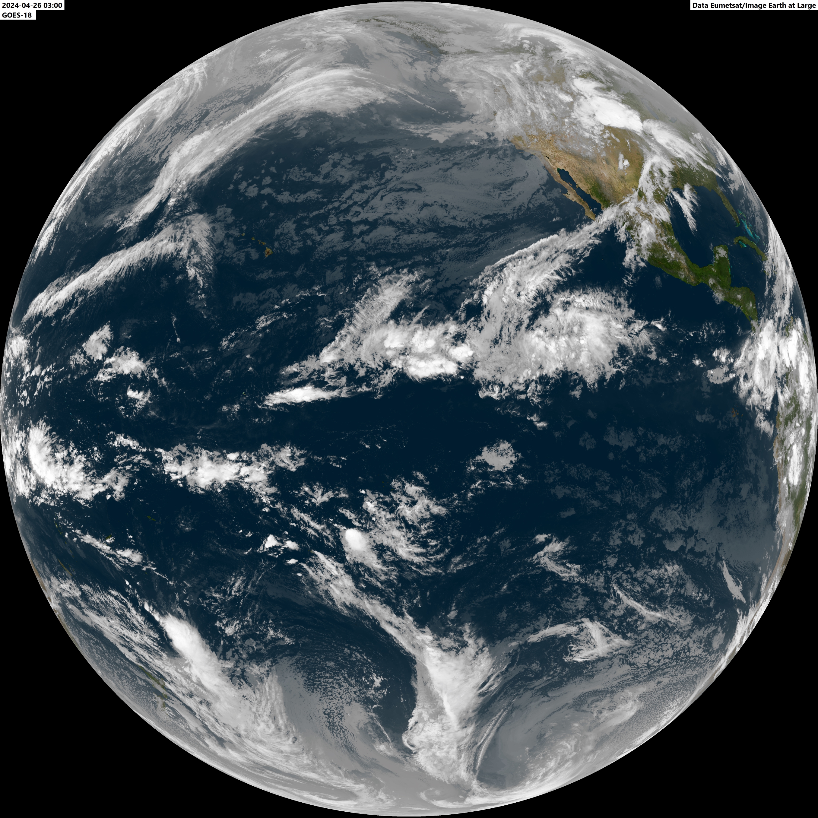
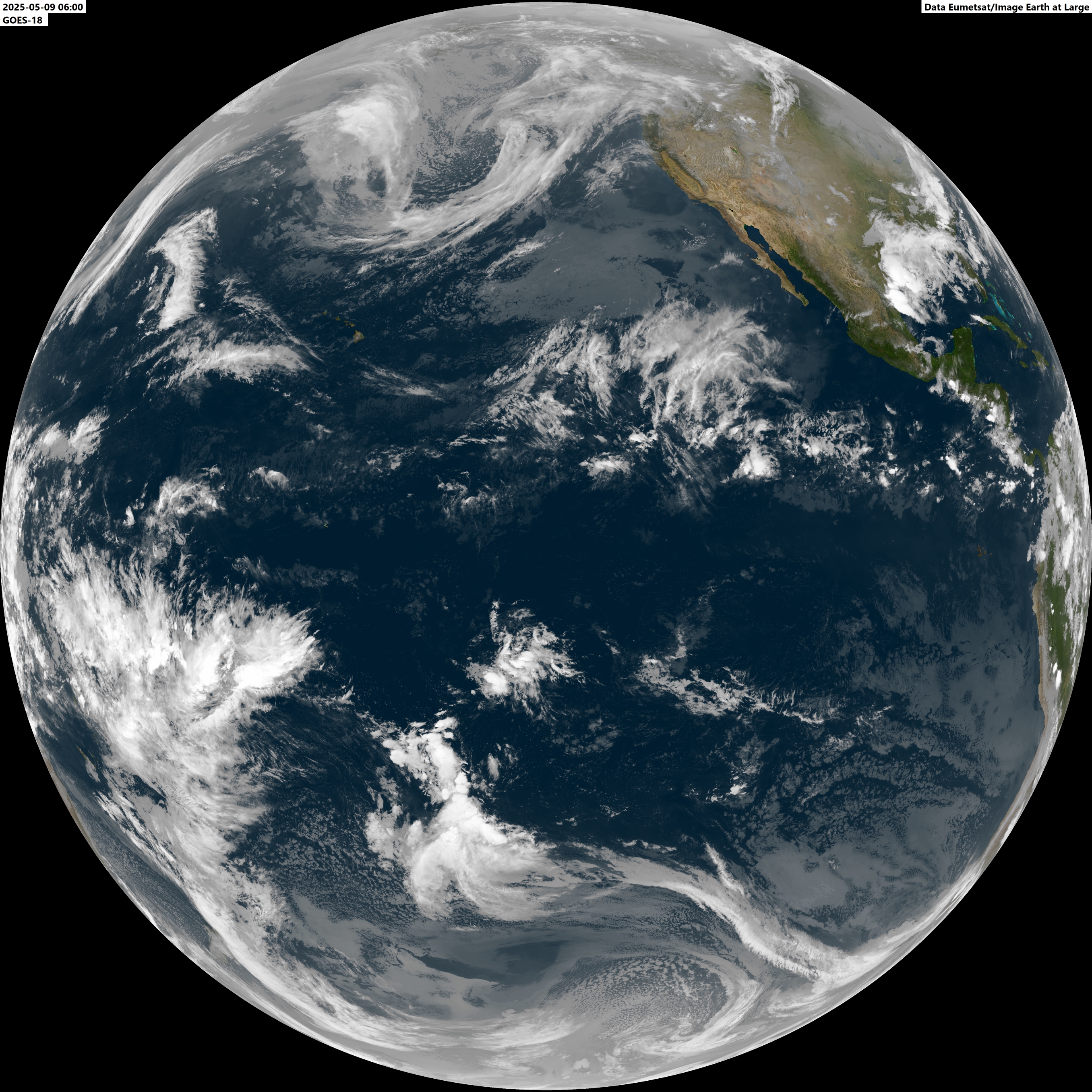
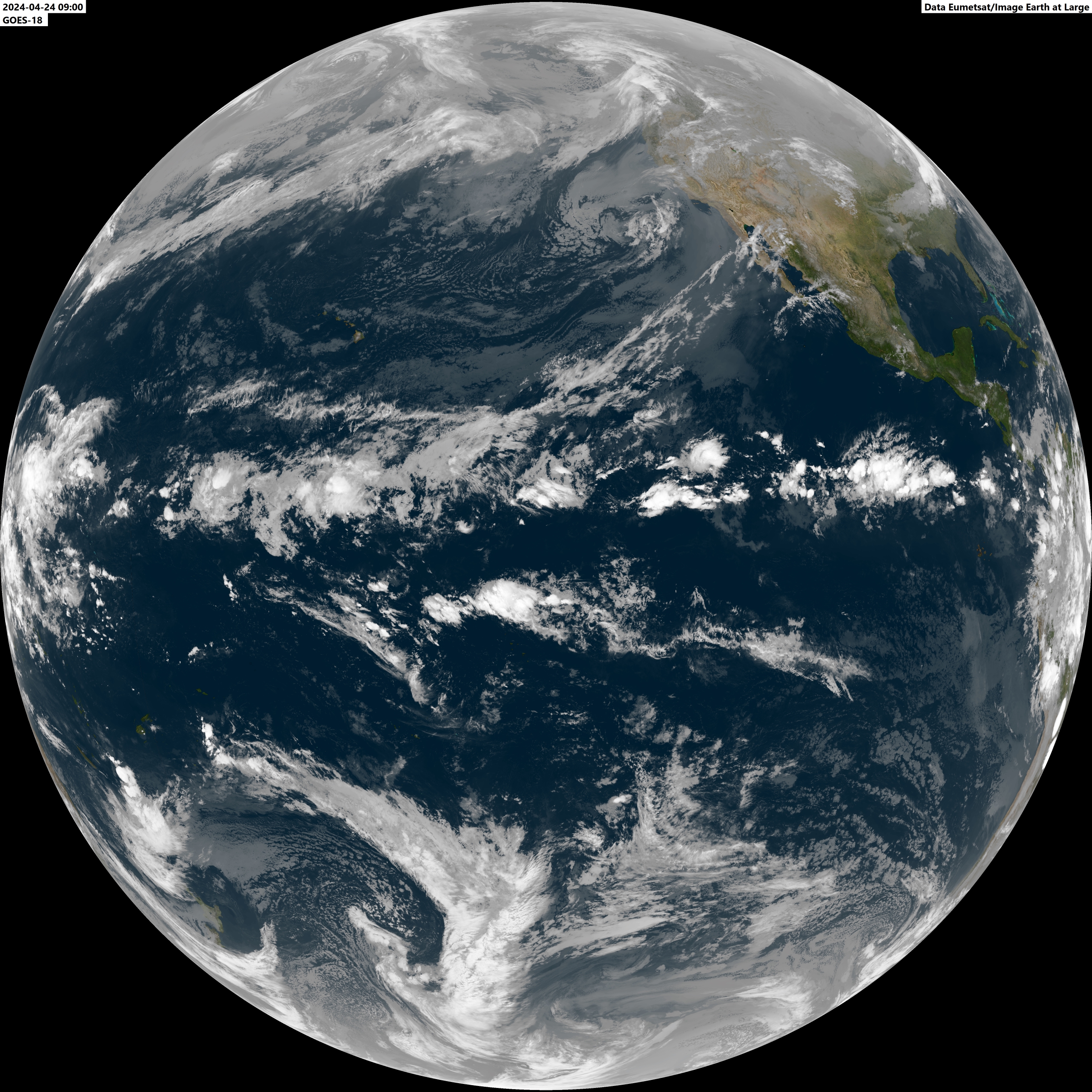
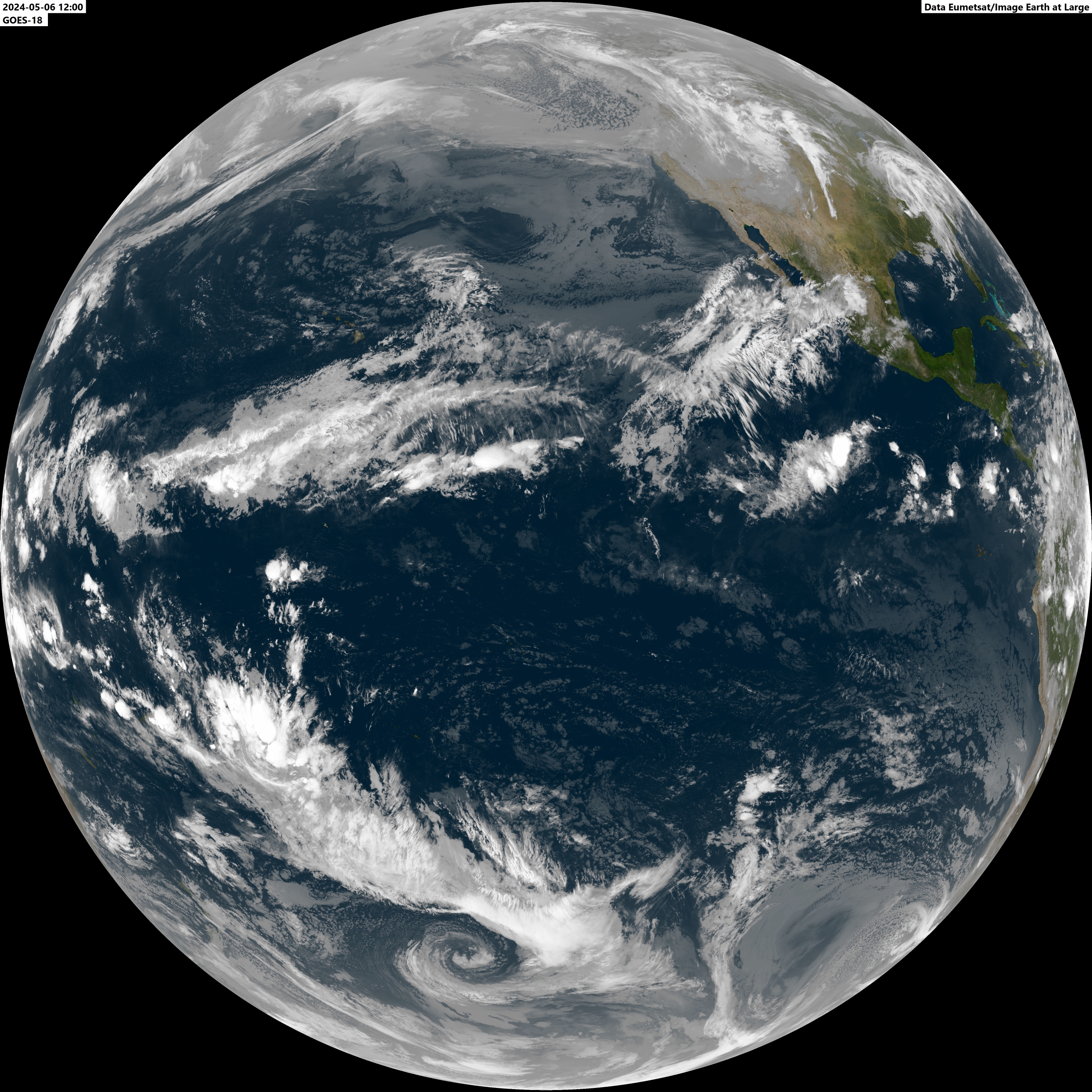
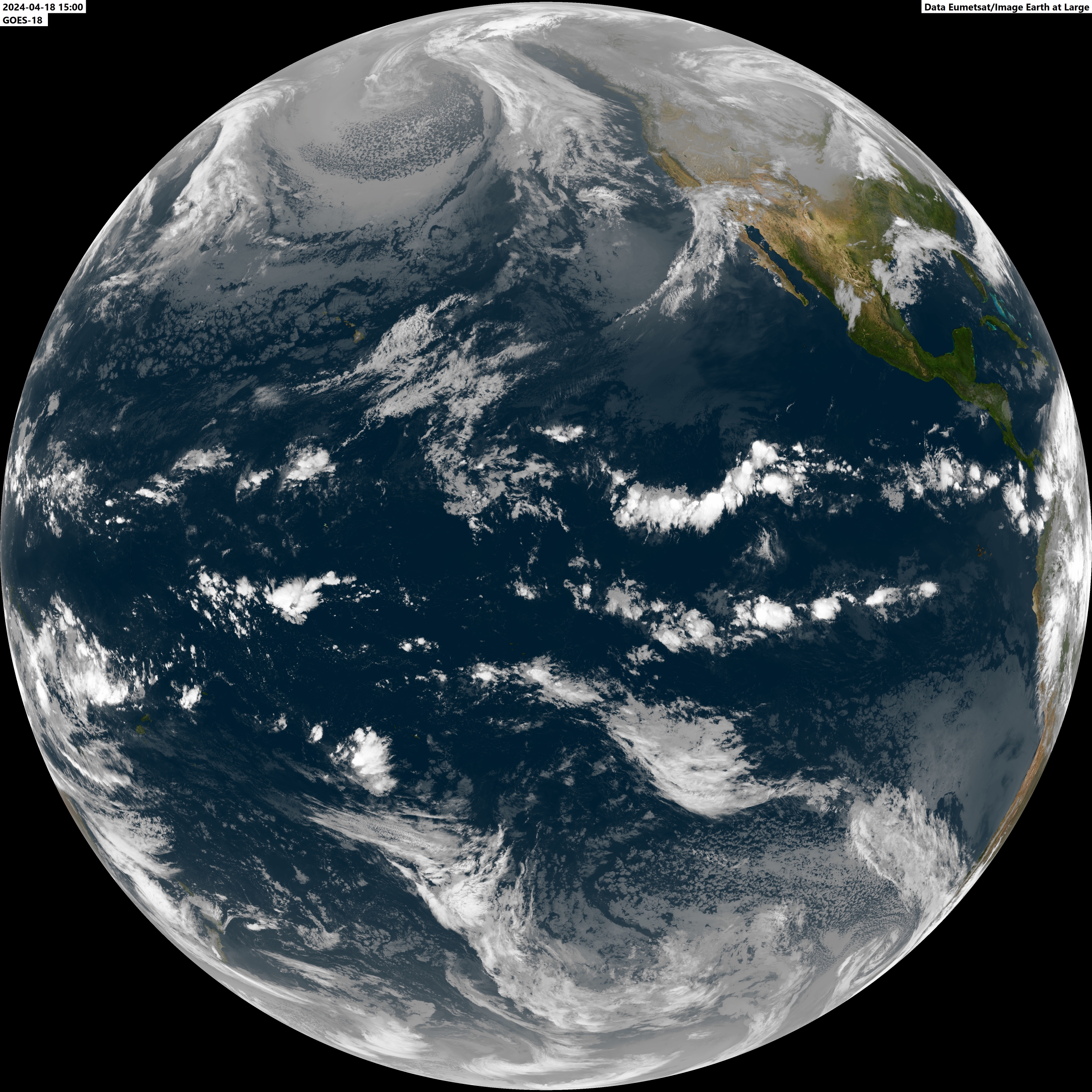
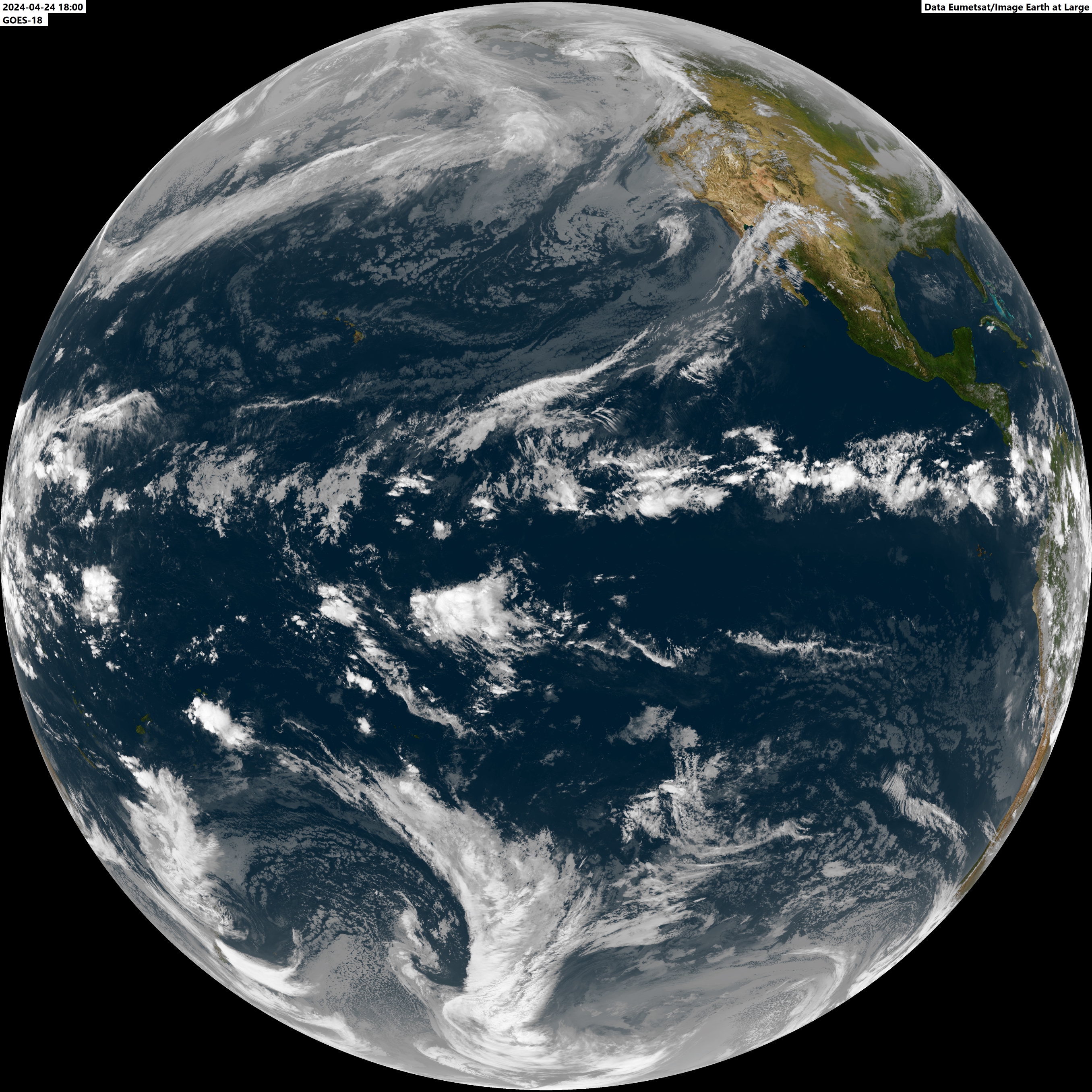
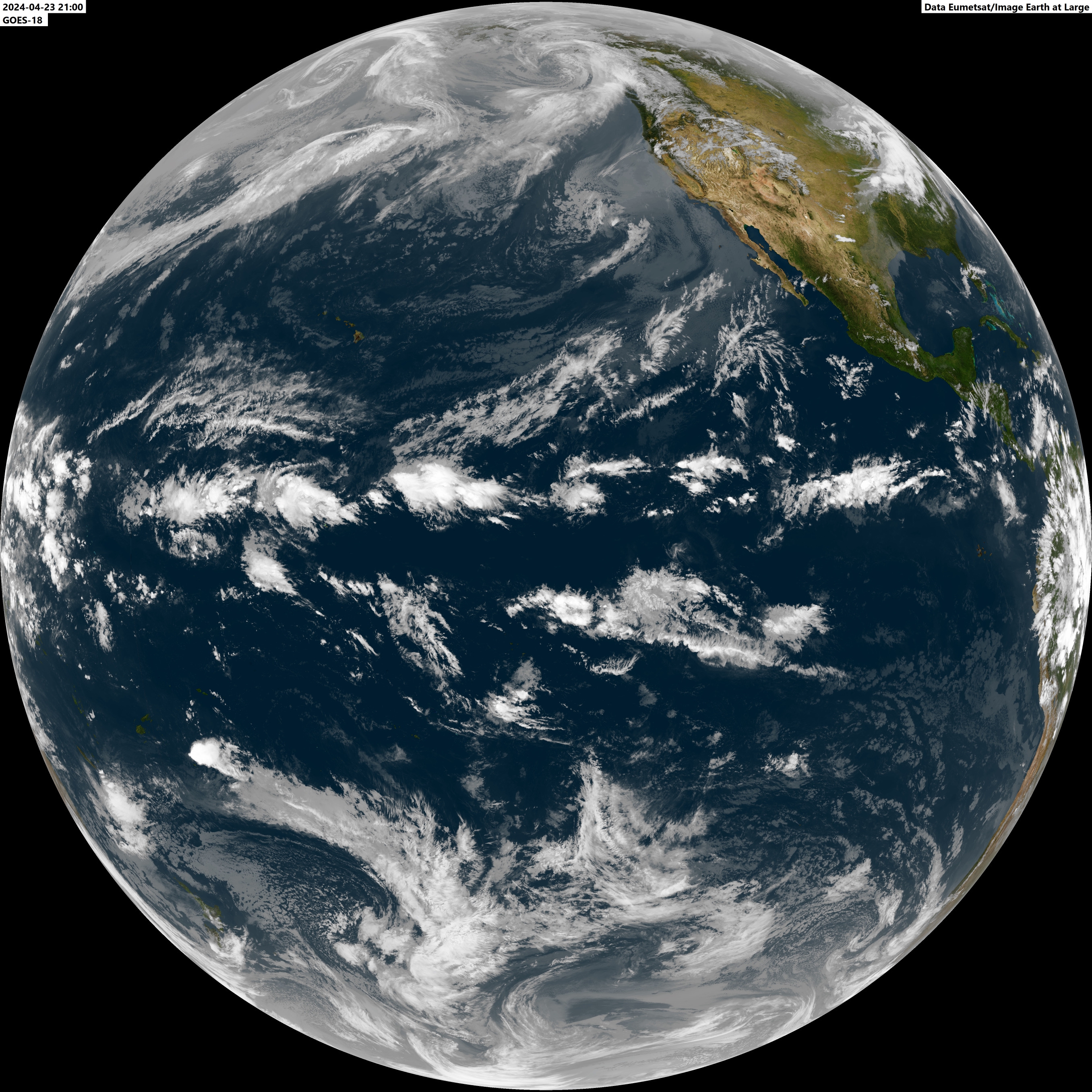
Goes West - Western US and Pacific Ocean 00:00z 03:00z 06:00z 09:00z 12:00z 15:00z 18:00z 21:00z 21:00z Vis
+++++++++++++++++++++++++++++++++++++++++++++++++++++++++++++++++ The images presented are meant for meteorological reference and information. Any conclusion or decision made upon these images is for the sole responsibility of the user and does not constitute in any way liability for Earth at Large and/or Ferdinand Valk. The Geostationary imagery presented comes mainly from data dissemination via Eumetcast. A special thanks goes out to David Taylor who, loyal to his name, has tailored some of the software I use to my requirements. Over time he has developed an extensive suite of programs to handle the great variety of data coming from the various satellites. For images of dates prior to the images posted you can also contact me at fvalk @ fvalk dot com Users of the old SSB/Orbit software: an update is available. Click here. |


